
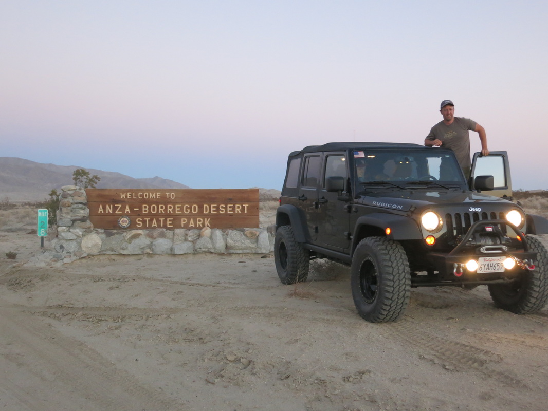
After seeing petroglyphs in Moab, we were in search of more Indian markings, but closer to home. Some searching turned up Indian petroglyphs in Blair Valley, which is located south of Borrego Springs between Julian and Ocotillo Wells.
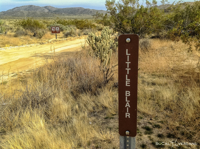
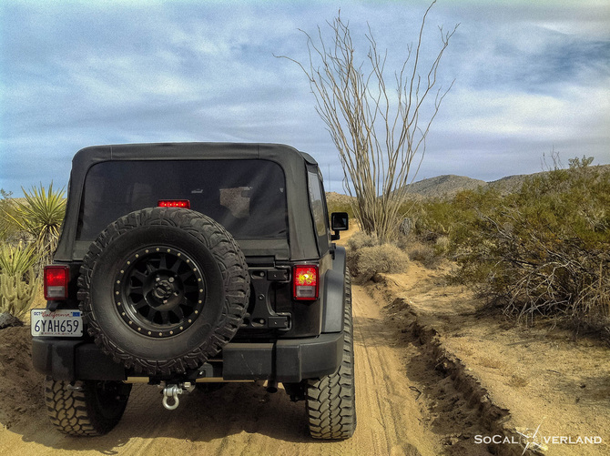
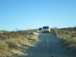
Getting there is easy. From Scissors Crossing at highway 78 and S2, drive south 5.3 miles on highway S2. Keep watch for the "Little Blair" sign on the side of the road. Take this turn off to follow the trail in. Overall distance to parking area for pictographs is 5.5 miles. The road in is packed sand, single lane wide. The route is suitable for any SUV or truck as well as most cars. If you are in a car and see soft sand ahead, keep your speed and don't slow to help prevent getting stuck.
Primitive camping is also allowed in Blair Valley and there are many good areas for this along the driving trail.
The beginning of the trail parallels highway S2 before edging off to the left. It could be easy to go fast here, but watch for oncoming traffic.
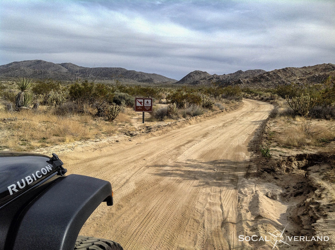
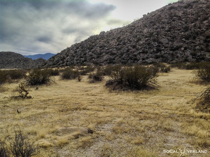
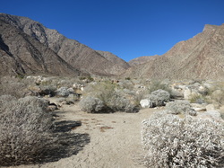
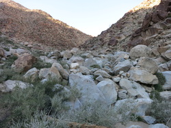
Stay left at 1.2 miles and then at 1.8 miles veer right. I then turned right at 2.3 miles to follow along the rock covered hills. There are good spots for camping in this area along the hills.
The trail follows along these rock covered hills that provide for nice camping areas.
After following alongside the dry lake bed, I turned left at 4.1 miles , following the trail up to the parking area for the pictographs.
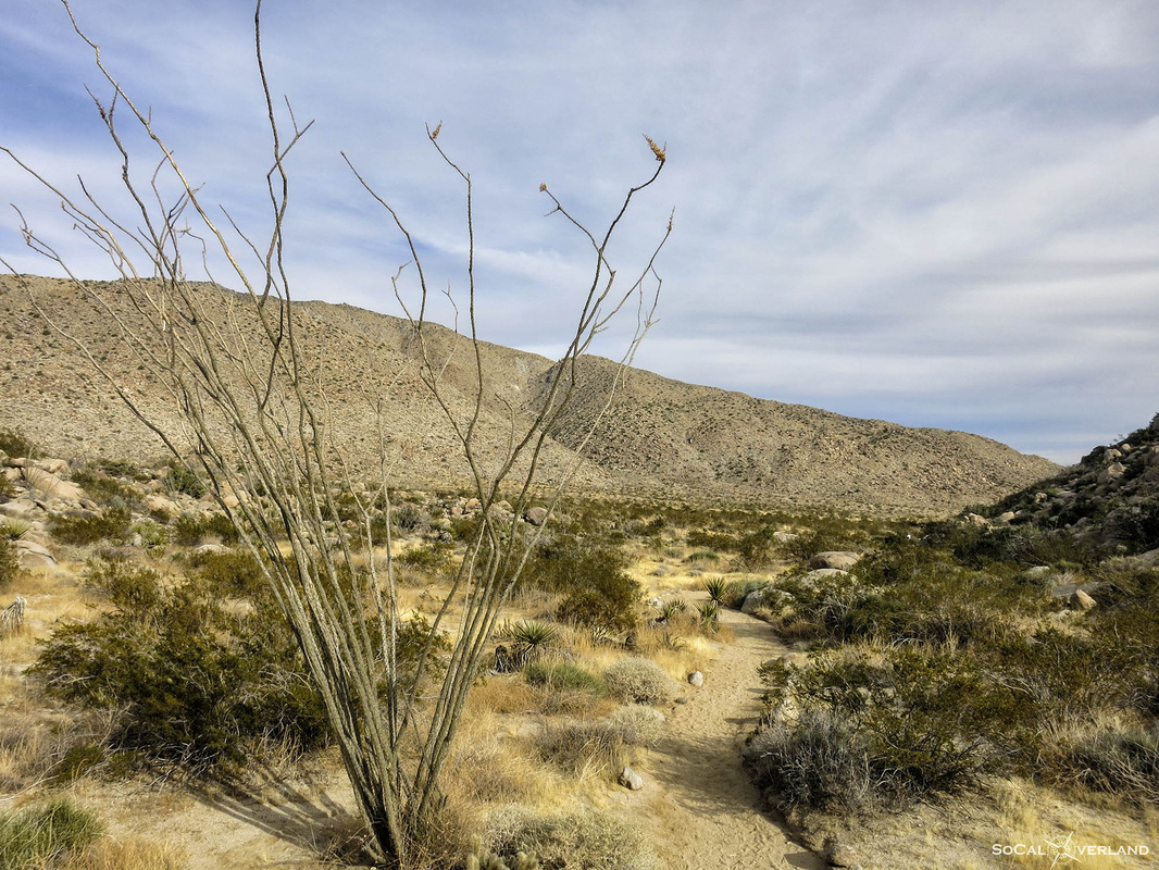
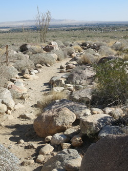
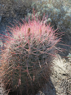
There are giant Ocotillo plants along the way.
There are giant Ocotillo plants along the way.
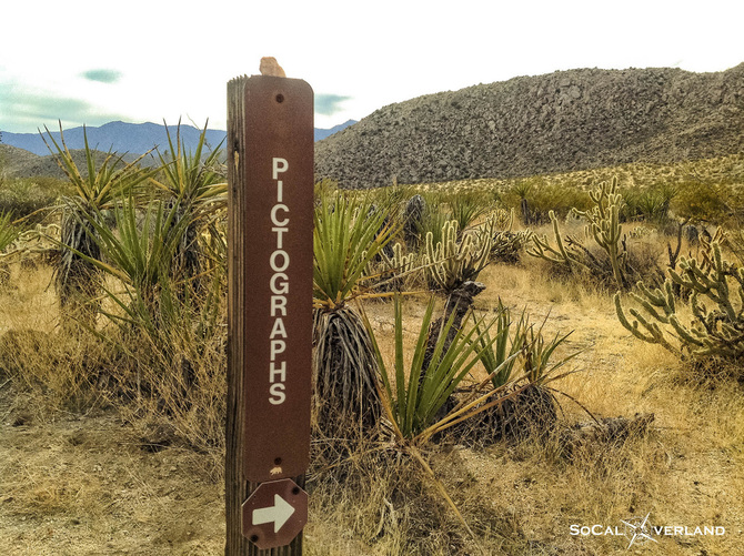
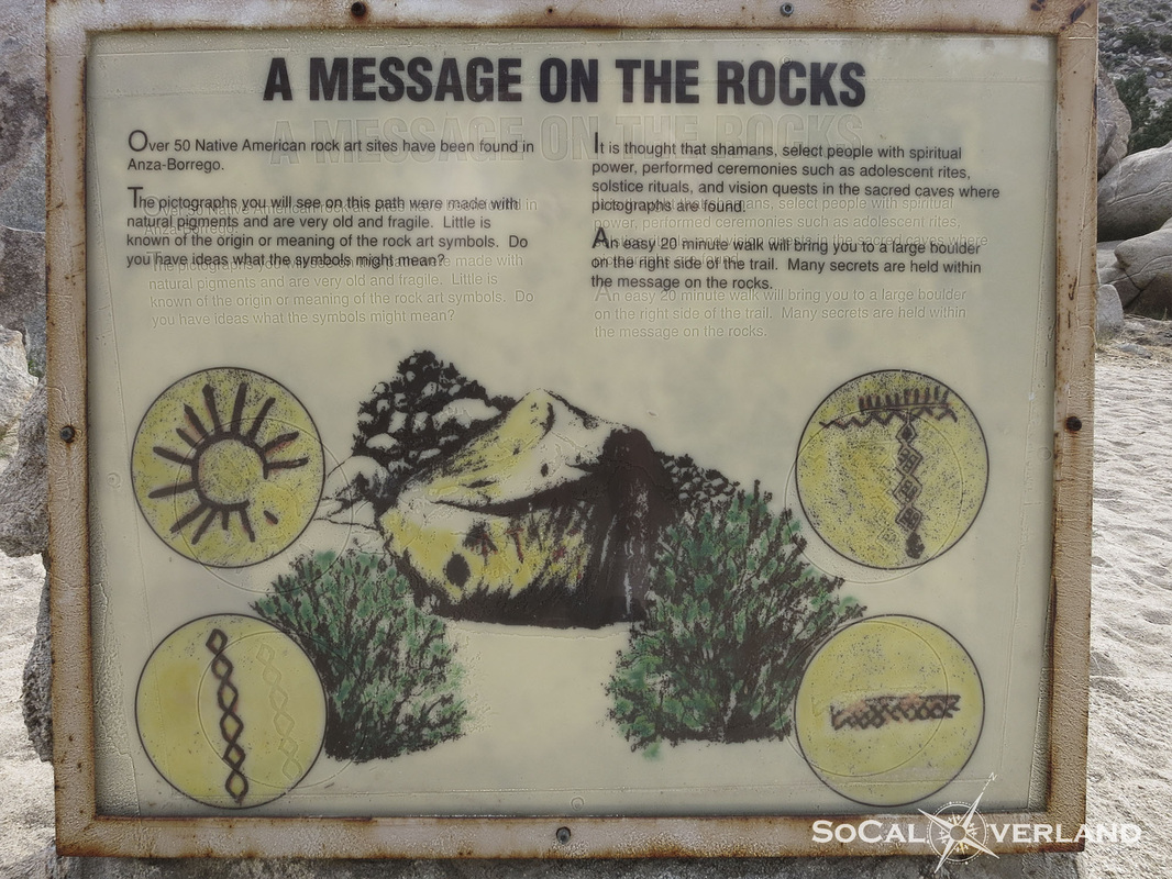
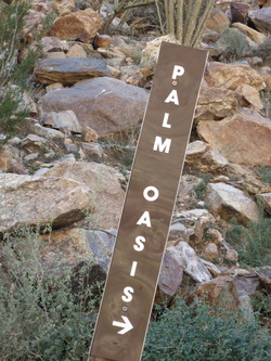
Arriving at the end of the trail, there is plenty of parking. Look for this sign with general information regarding the Indian pictographs.
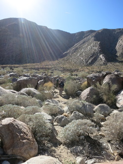
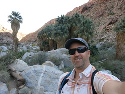
The hiking trail is about one mile each way. There are only a few small boulders to scramble around to follow the sandy hiking trail to the pictographs.
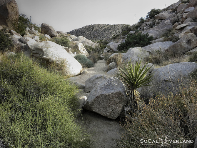
After ascending to the top of a small incline on the hiking trail, the backside descends toward the pictographs. Along the walking trail there is mostly brush and a few Ocotillo plants. Walking there takes about 20 minutes.
Look for this large rock on the right side of the trail. Here you will find the Indian pictographs. There does not seem to be any meaning for the shapes of these pictographs, so you can draw your own conclusions.
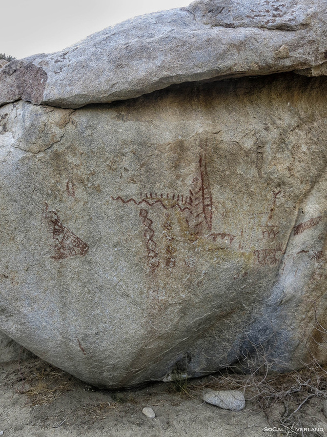
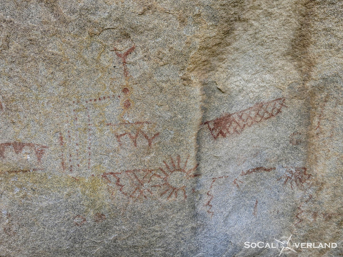
Up close, you can see the designs, one of which seems to be the sun. Not too sure what messages the other pictographs are supposed to convey.
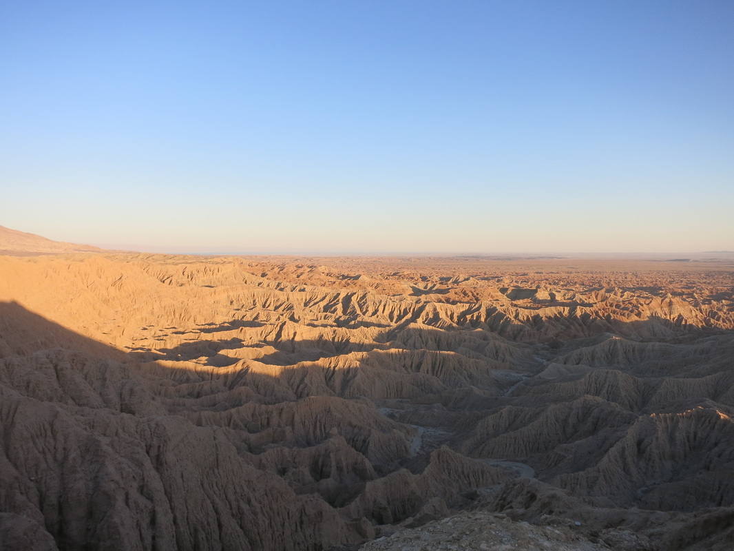
If you have additional time to explore this area, you can hike to the top of Ghost Mountain to visit the Marshall South home.
Leaving the parking area, begin to backtrack the main road; after a short distance you will find the trail for the Indian Morteros on the left. You will come to the three-way intersection after about 1.4 miles (measured from the pictograph parking area), stay left and look for the Indian Morteros sign. You can take this hike or continue on driving this alternate route back out to highway S2. Driving beyond Morteros sign, stay to the right, near the bluffs, where you will come across more good areas for primitive camping. Continue the driving trail a short distance and it leads out to highway S2. Turn right to return back toward Scissors Crossing.
While I have not camped out here, it seems like a great place for a weekend trip. Have you been camping here? What's your opinion for camping in Blair Valley?


 RSS Feed