
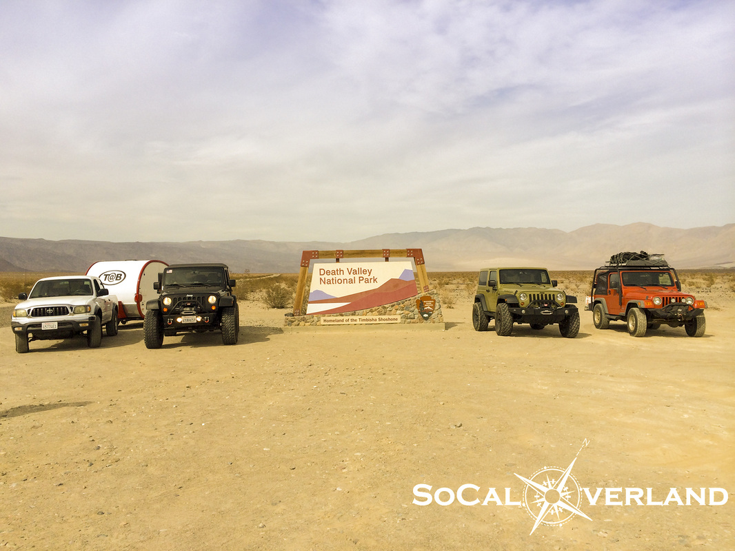
We had a big day two of exploring planned for our Death Valley adventure, which would include Ubehebe Crater, The Racetrack, and Lippincott Trail, which would bring us down into Saline Valley and then connect us to Panamint Valley for a visit to Darwin Falls and then refueling for our return to camp in Wildrose Canyon. We would drive nearly 250 miles this day, with a significant portion off road.
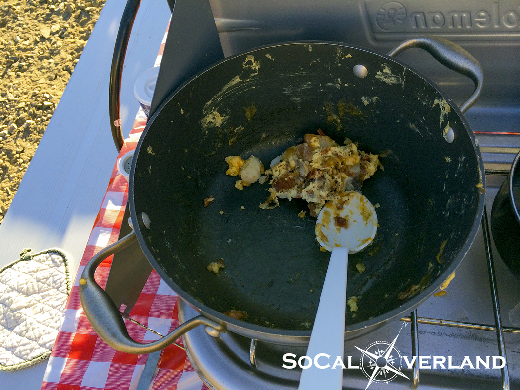
The morning kicked off with another fulfilling breakfast, this time it was eggs, bacon, and potatoes. After everyone had a second helping, this is all that was left.
The morning kicked off with another fulfilling breakfast, this time it was eggs, bacon, and potatoes. After everyone had a second helping, this is all that was left.
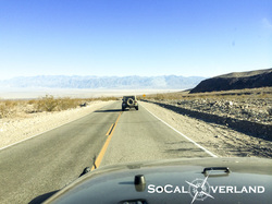
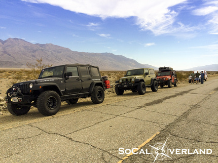
After stuffing ourselves with breakfast and packing our lunch coolers, we drove out of Wildrose Canyon (Emigrant Wash) and headed toward Stovepipe Wells to top off our tanks.
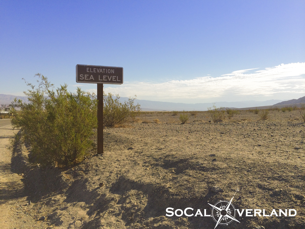
Transitioning from Emigrant Wash onto highway 190 is an incredible sight as you descend from 4,000 feet elevation to 0 feet within a short distance on approach to Stovepipe.
Transitioning from Emigrant Wash onto highway 190 is an incredible sight as you descend from 4,000 feet elevation to 0 feet within a short distance on approach to Stovepipe.
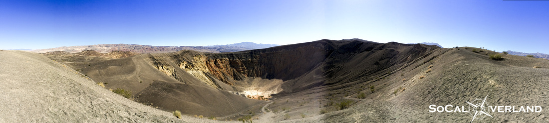
We topped off our gas tanks in Stovepipe and drove along Scotty's Castle road toward Ubehebe Crater. Ubehebe Crater was not created from a volcano, but rather from pressurized gases that exploded beneath the earth's surface.
The crater measures about one-half mile across. There is also another smaller crater behind and to the side of the Ubehebe Crater.
After capturing some images here and then talking with a group of Japanese tourists that had spent the previous night at the Racetrack in their rented Suburban due to a flat tire, we decided to hit the trail.
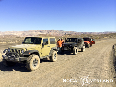
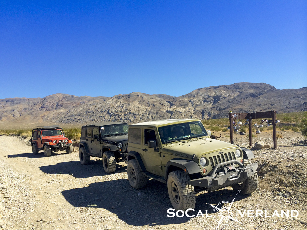
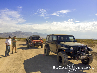
Airing down at the trailhead for The Racetrack.
Racetrack Road is maintained by the park service, however, the washboard road can be jarring if you are running your tires with street pressure and cruising at low speeds.
Racetrack Road is maintained by the park service, however, the washboard road can be jarring if you are running your tires with street pressure and cruising at low speeds.
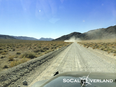
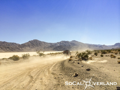
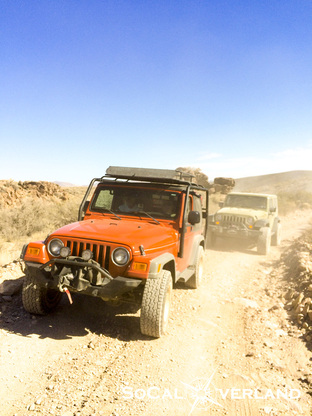
Racing out to The Racetrack across the washboards and sharp rocks.
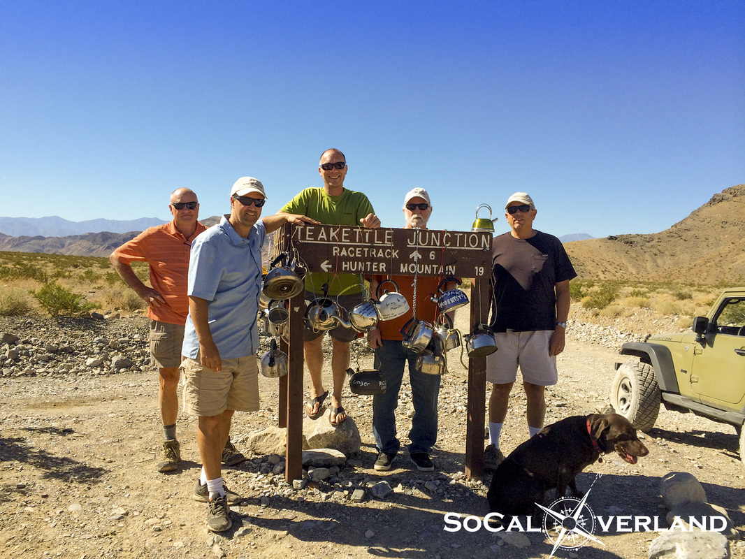
Arriving at the famed Tea Kettle Junction for a quick break and a photo with the many hanging tea kettles. We were going to bring our tea kettle and hang it on the sign, but then realized we would need it for breakfast the next day.
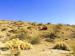
Further along the trail, we could begin to see the black rocks, also known as the The Grandstand, distinguishing itself from The Racetrack Valley floor.
The Grandstand sits all alone out in the middle of The Racetrack floor.
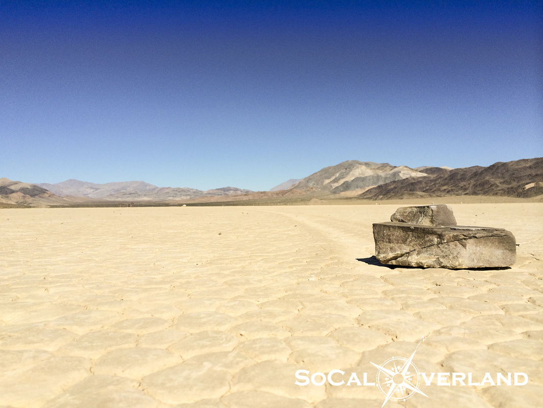
The moving rocks are at the south end of The Racetrack. Here is Red Rider chasing the dust of El Chupacabra to get a look at the rocks.
Alas, we had arrived at the scene of the mysterious moving rocks. Which of course, the mystery has been solved by a team of scientists that identified that when the ground freezes and the wind blows, it provides the perfect combination of elements for these rocks to inch their way along the Racetrack, leaving a concave wake in their path.
Aside from the science, we were all looking forward to making it to The Racetrack to view the moving rocks that were in a stationary position, at least on this day.
Aside from the science, we were all looking forward to making it to The Racetrack to view the moving rocks that were in a stationary position, at least on this day.
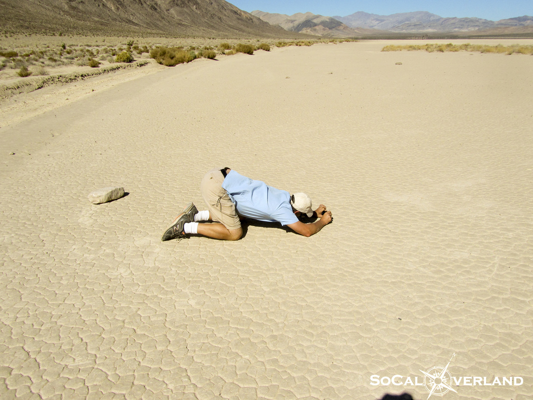
And if you were curious as to how I captured that very cool photo of the rock on The Racetrack, it requires a particular yoga move, which my good friend was happy to photograph while I was in mid-pose. It also requires the use of your iPhone for balance, or at least to get the desired photo.
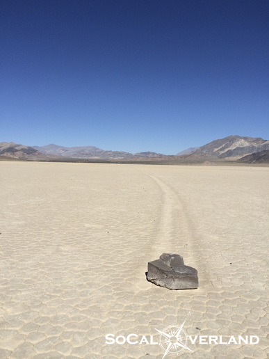
Another image of this moving rock with its track disappearing into the distance.
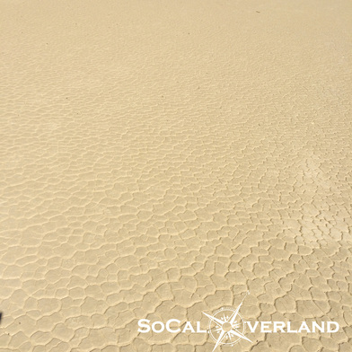
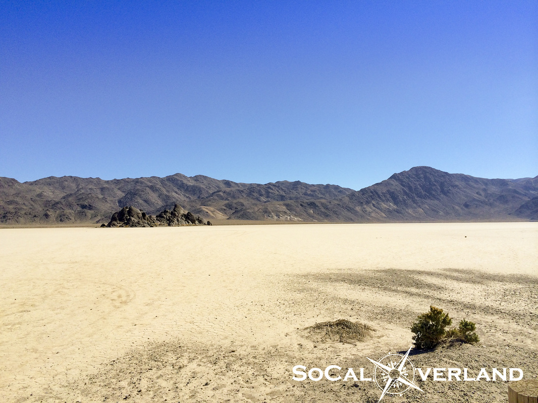
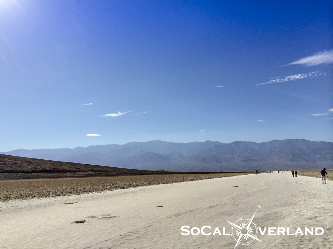
The dry lake bed floor feels and looks as if it were manufactured. Amazing natural patterns remain after all water has evaporated.
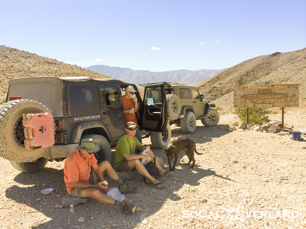
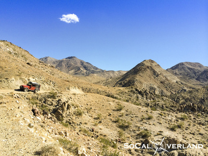
After hanging out at The Racetrack, we headed up to the Lippincott Trailhead for lunch.
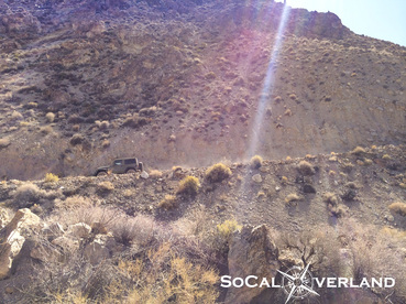
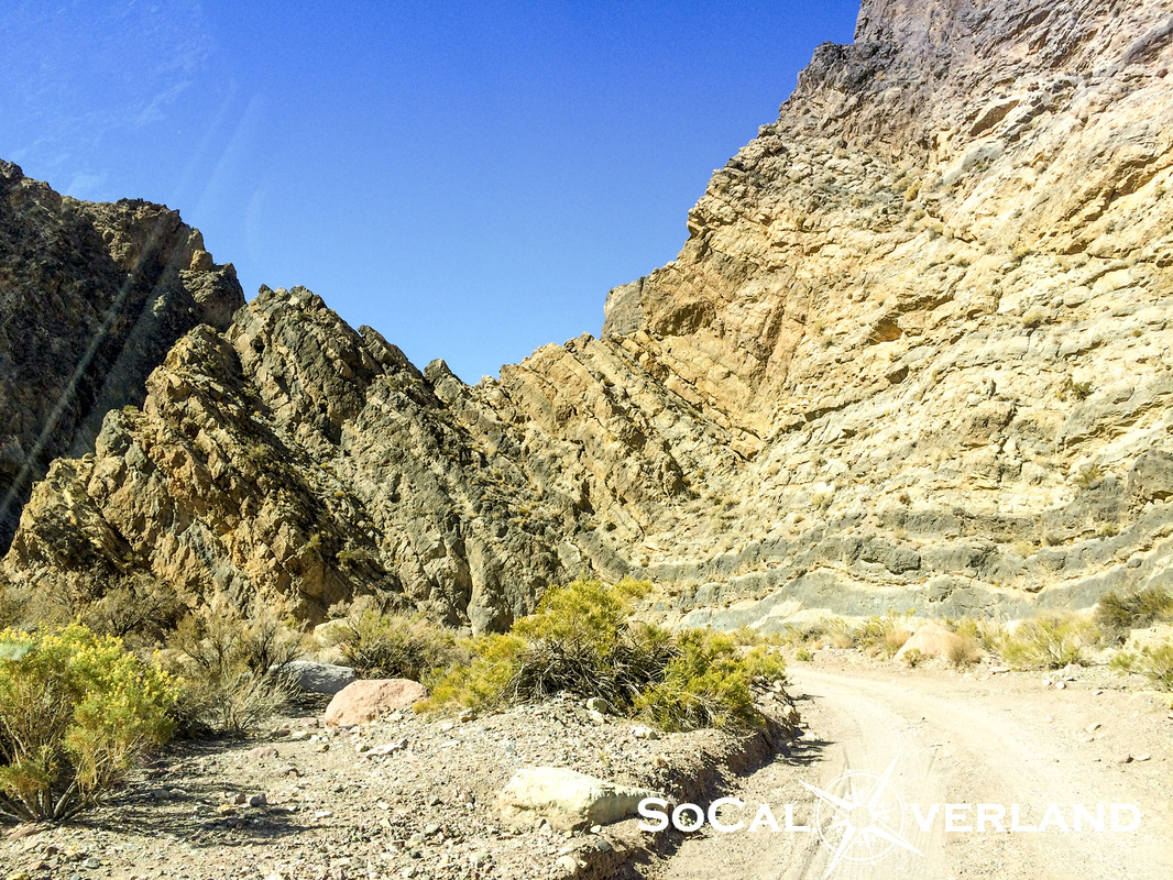
Starting down Lippincott Trail, the old Lippincott mine is visible in the distance.
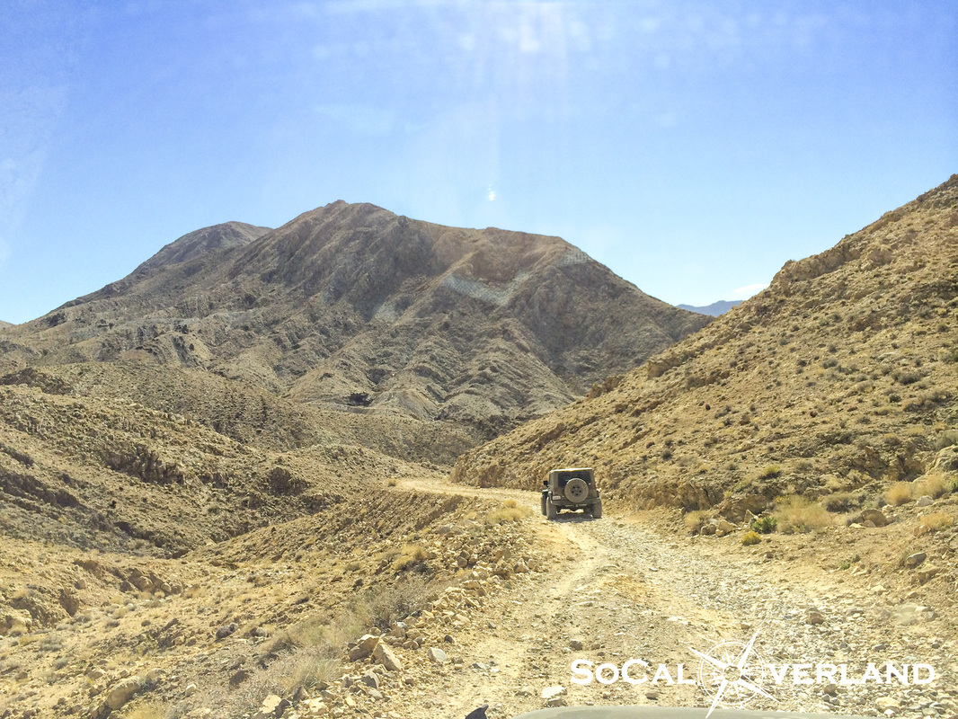
Overall, Lippincott is a moderate trail with a lot of small sharp rocks. There are a few technical sections, as well as a lot of shelf road driving.
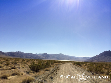
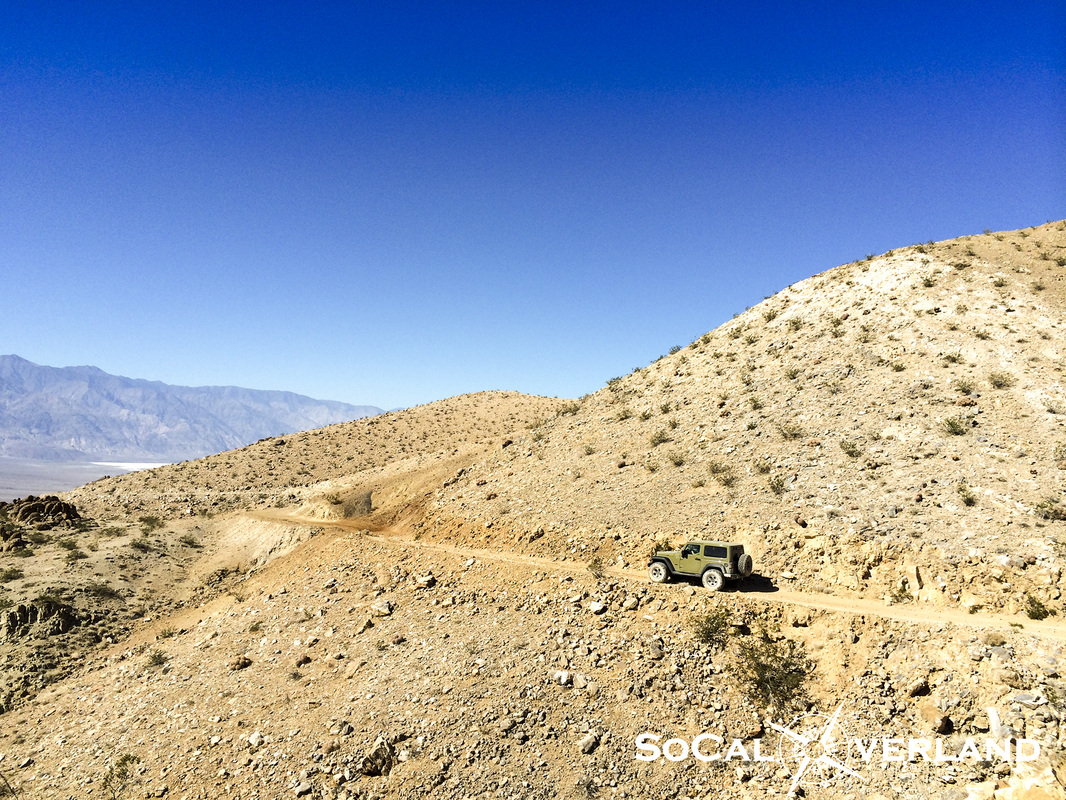
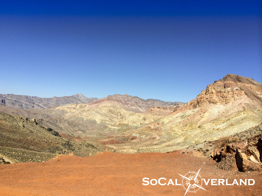
Saline Valley is seen in the distance.
Saline Valley is seen in the distance.
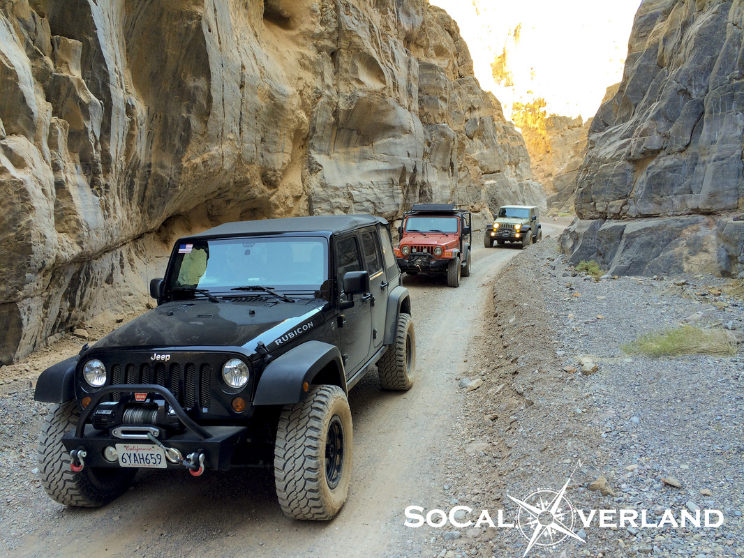
Red Rider navigating an off-camber trail section on Lippincott.
Some sections were more technical than others, while navigating around the larger rocks was fun.
Welcome to a road with no signs.
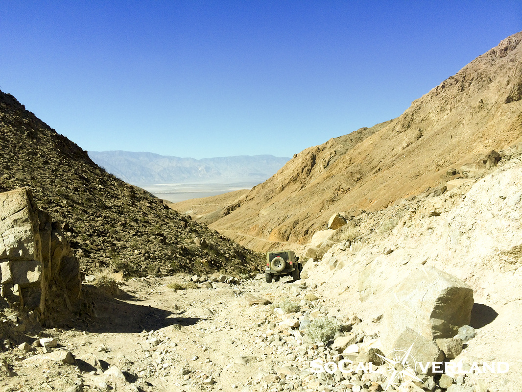
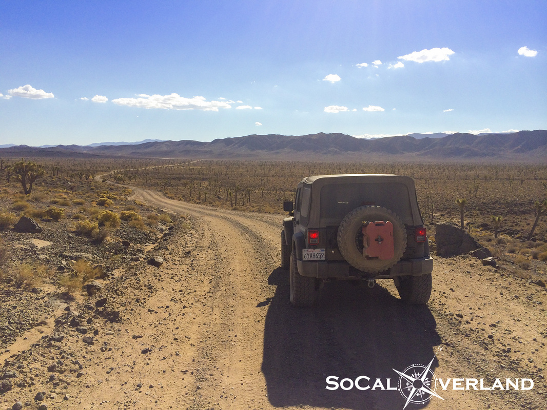
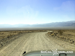
After reaching the bottom of Lippincott, the expanse of Saline Valley put into perspective the additional mileage we were going to need to cover in order to make it back to camp before dark.
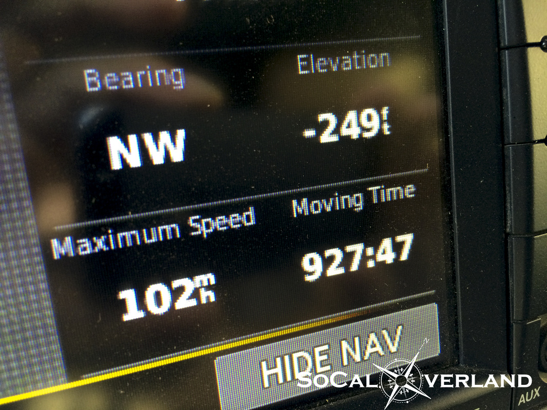
My Gaia GPS app on the iPad worked great, helping to keep us on course and not miss any turns.
After reaching the bottom of Lippincott, the expanse of Saline Valley put into perspective the additional mileage we were going to need to cover in order to make it back to camp before dark.
My Gaia GPS app on the iPad worked great, helping to keep us on course and not miss any turns.
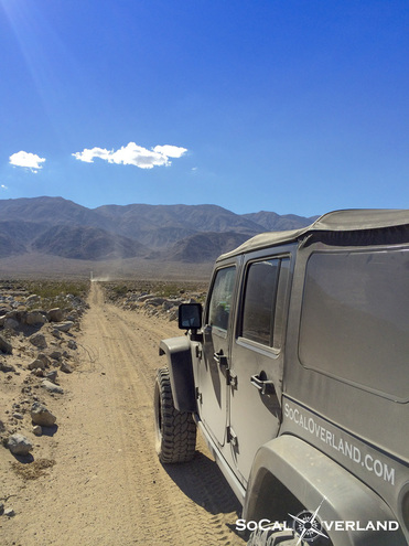
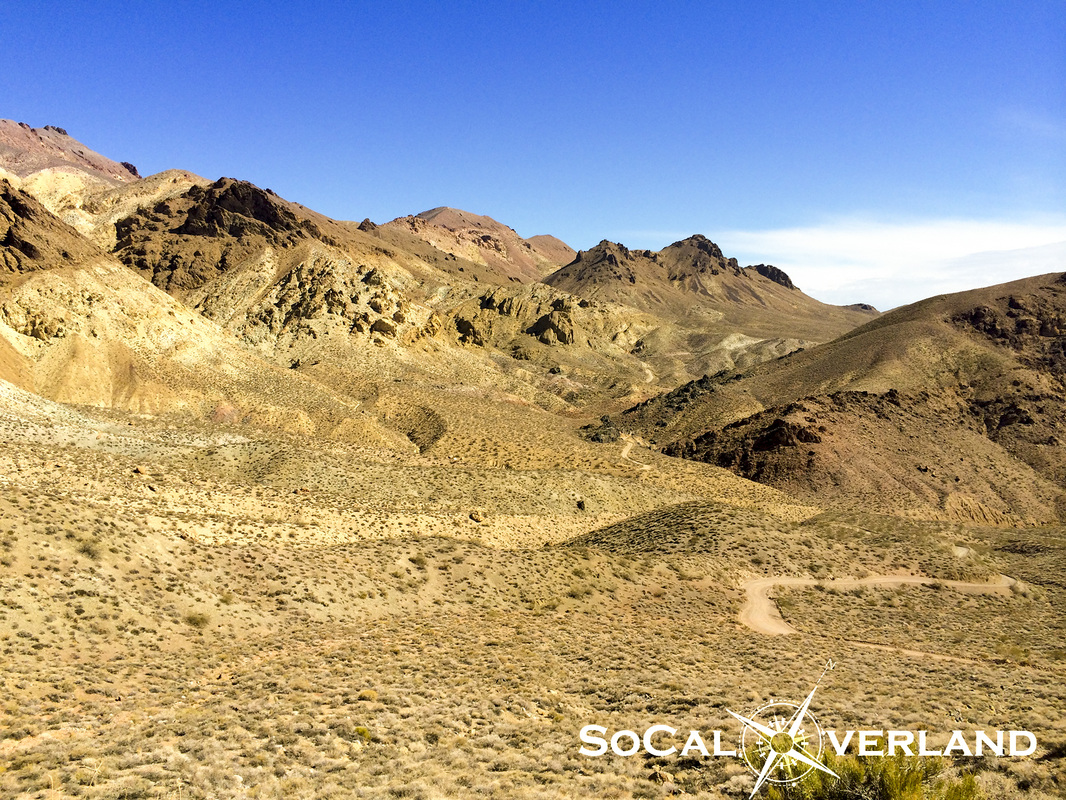
Driving out of Saline Valley brought us up to the mountain pass that would eventually lead us down into Panamint Valley.
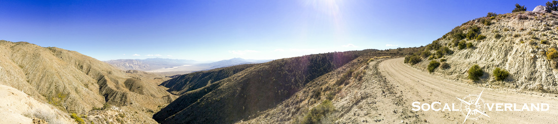
In this panorama picture, it is hard to see, but at the base of the mountains in the distance are the Panamint Valley Sand Dunes. Saline Valley Road continues to wrap around the mountain along the right side.
In this panorama picture, it is hard to see, but at the base of the mountains in the distance are the Panamint Valley Sand Dunes. Saline Valley Road continues to wrap around the mountain along the right side.
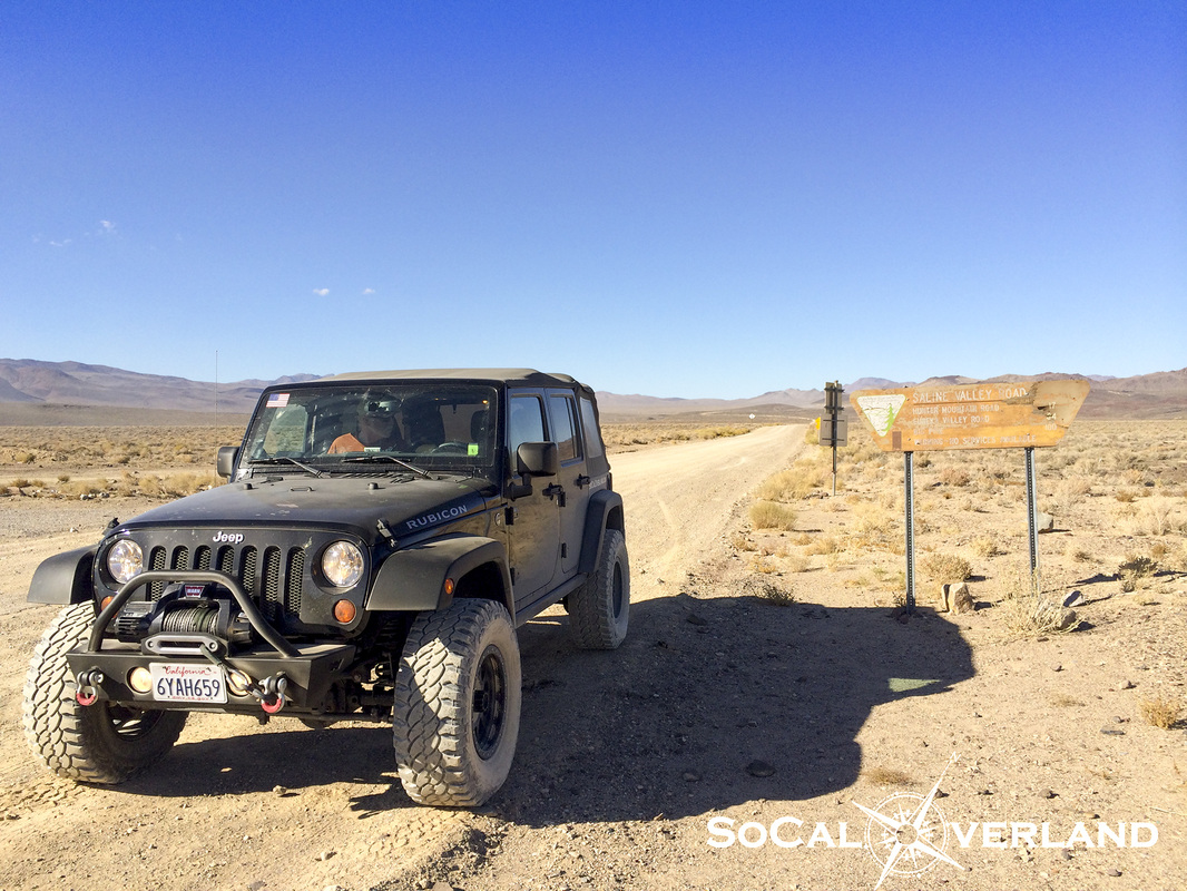
Saline Valley Road continues all the way out to highway 190. After we hit pavement, we checked our time and progress and determined we would have enough time to visit Darwin Falls in Panamint.
| 
|
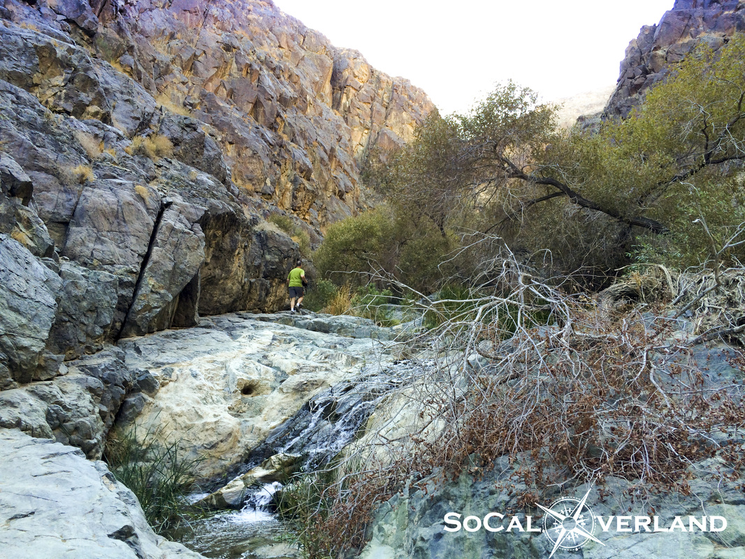
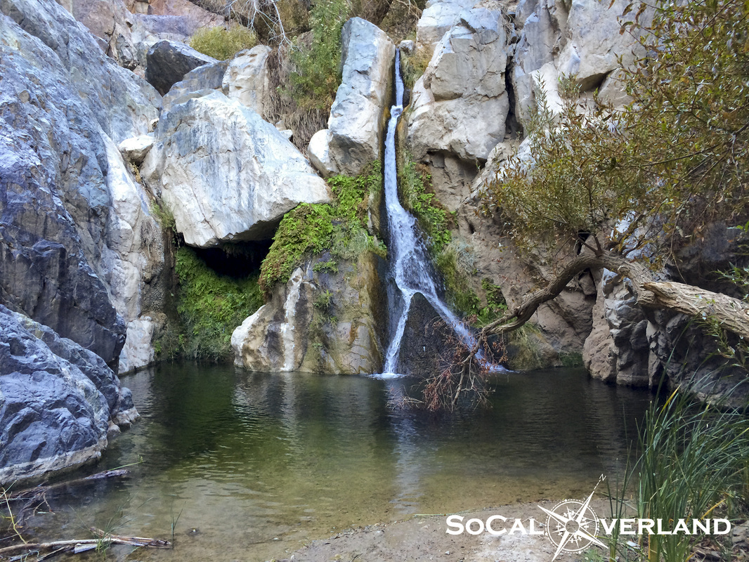
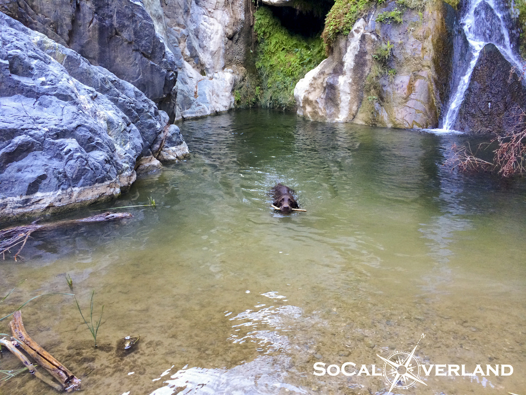
At Darwin Falls, a short hike up a large sand wash and some rock scrambling brings you to the falls itself, which provides year round water and is also the water source for Panamint Valley Springs Resort.
| 
|
Despite the cool water temperature, K-Dawg our chocolate lab, decided it was a good place to cool off and fetch a stick.
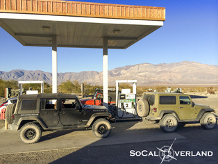
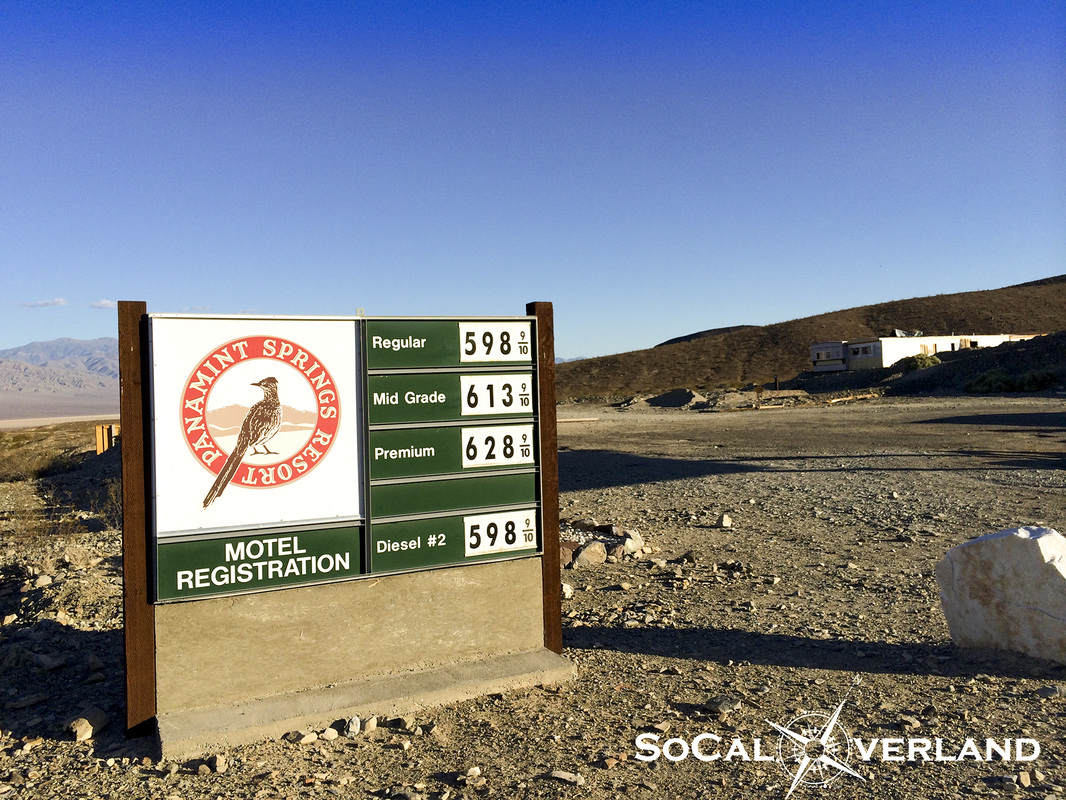
Fueling up in Panamint Springs for $6 a gallon.
| 
|
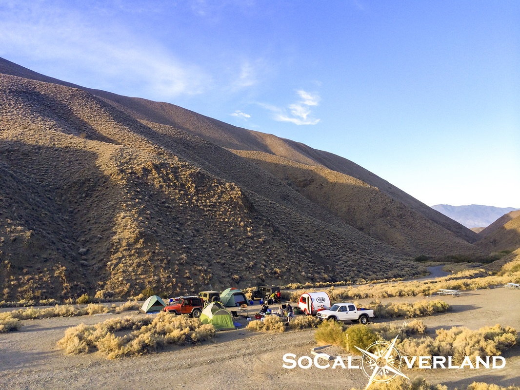
After driving about 250 miles exploring Death Valley in one day, it was time to head back to camp for dinner.
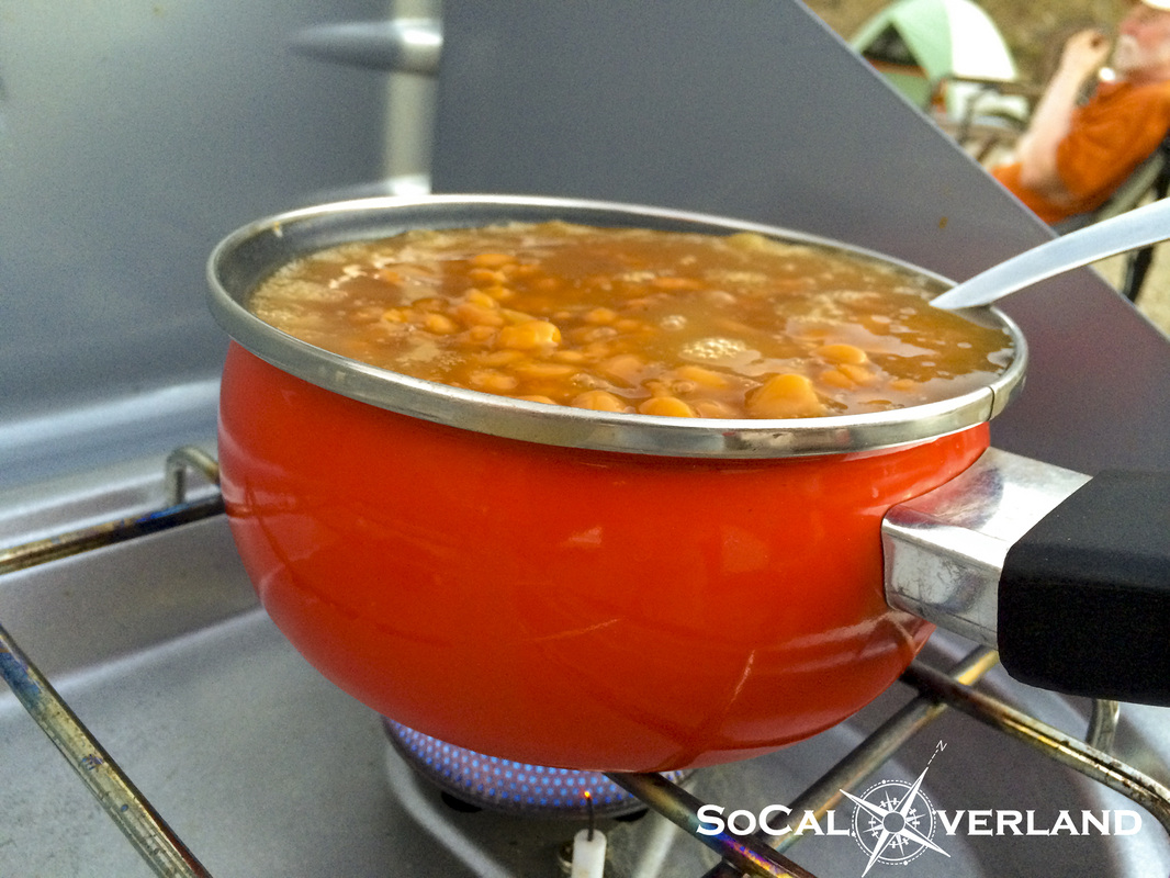
Now that's one full pot of beans!!! We ate beans and more beans and then ate some more beans that night.
Now that's one full pot of beans!!! We ate beans and more beans and then ate some more beans that night.
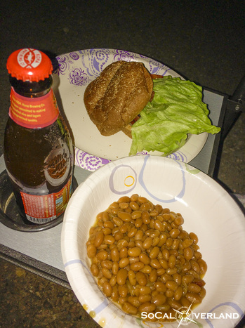
We also had hamburgers as a side dish to our beans along with refreshments.
We finished off a great weekend of exploring Death Valley with a warm campfire and some stories recapping our days together.
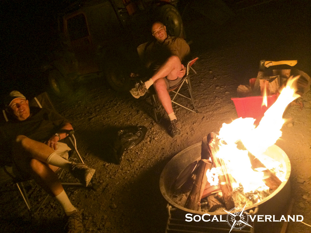
Thanks again to everyone for joining this years Death Valley trip.


 RSS Feed