|
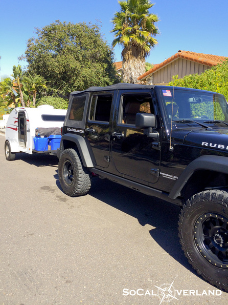
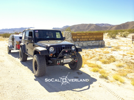
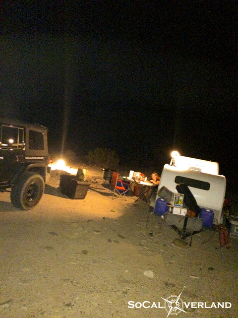
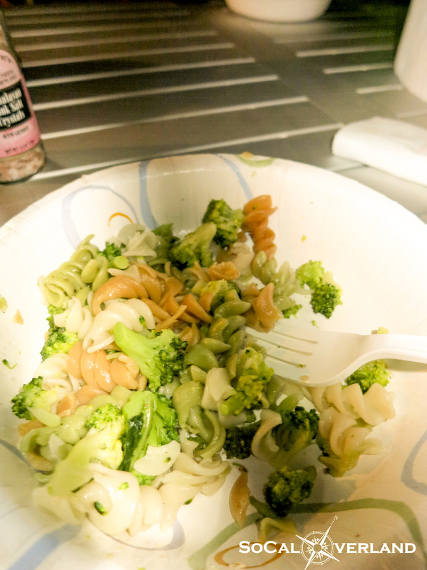
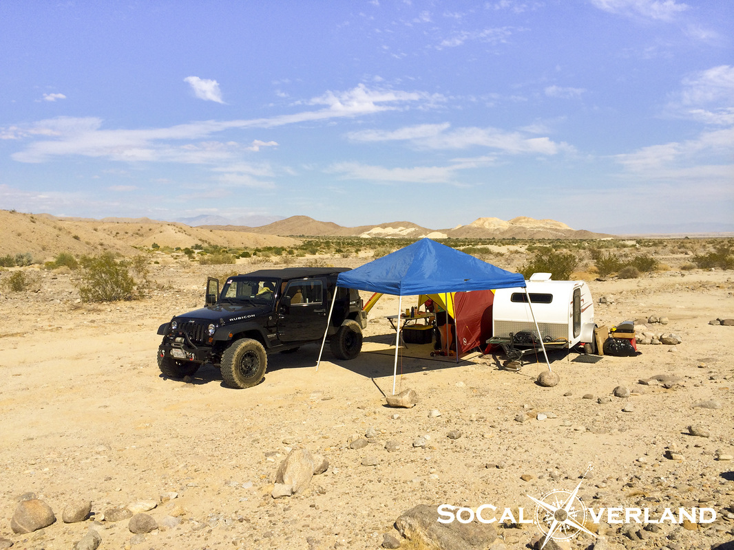
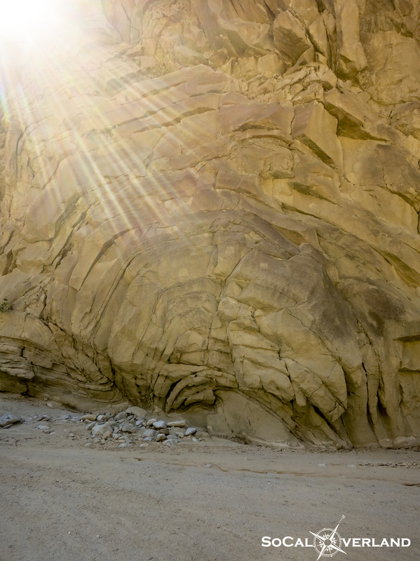
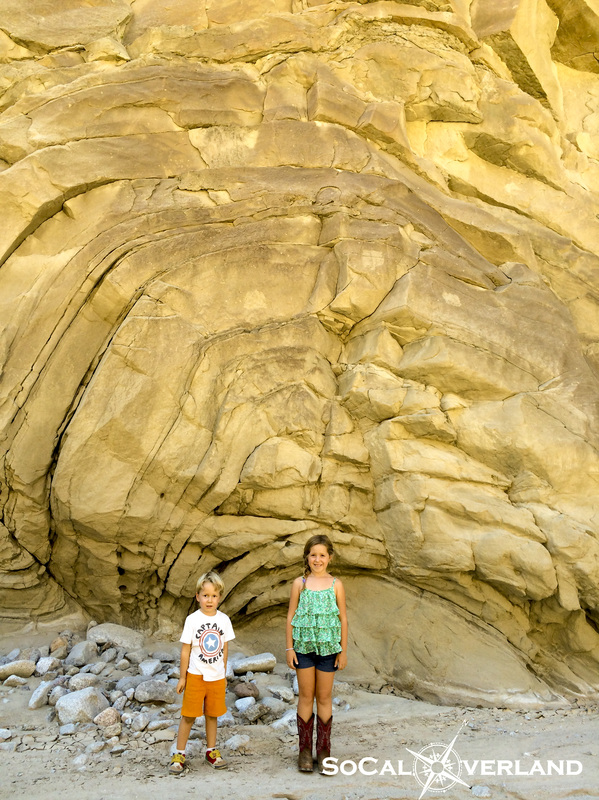
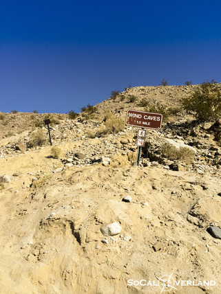
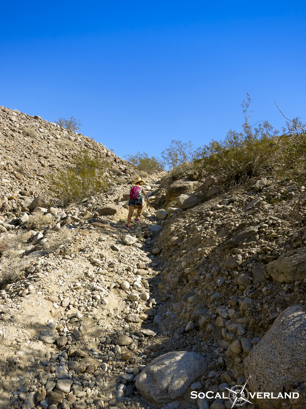
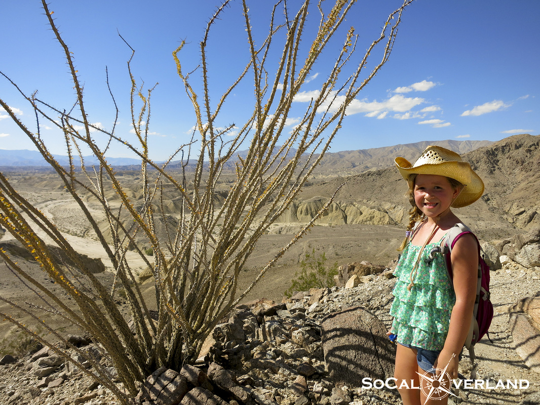
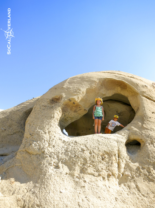
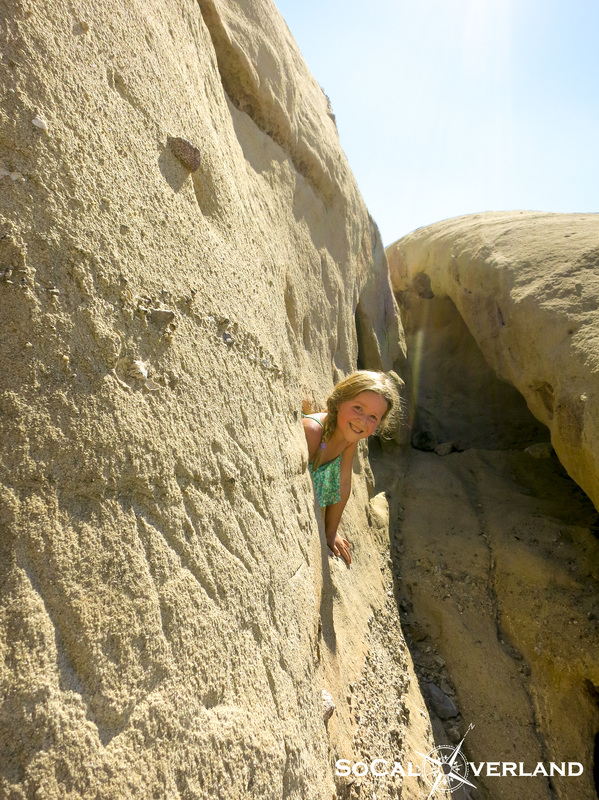
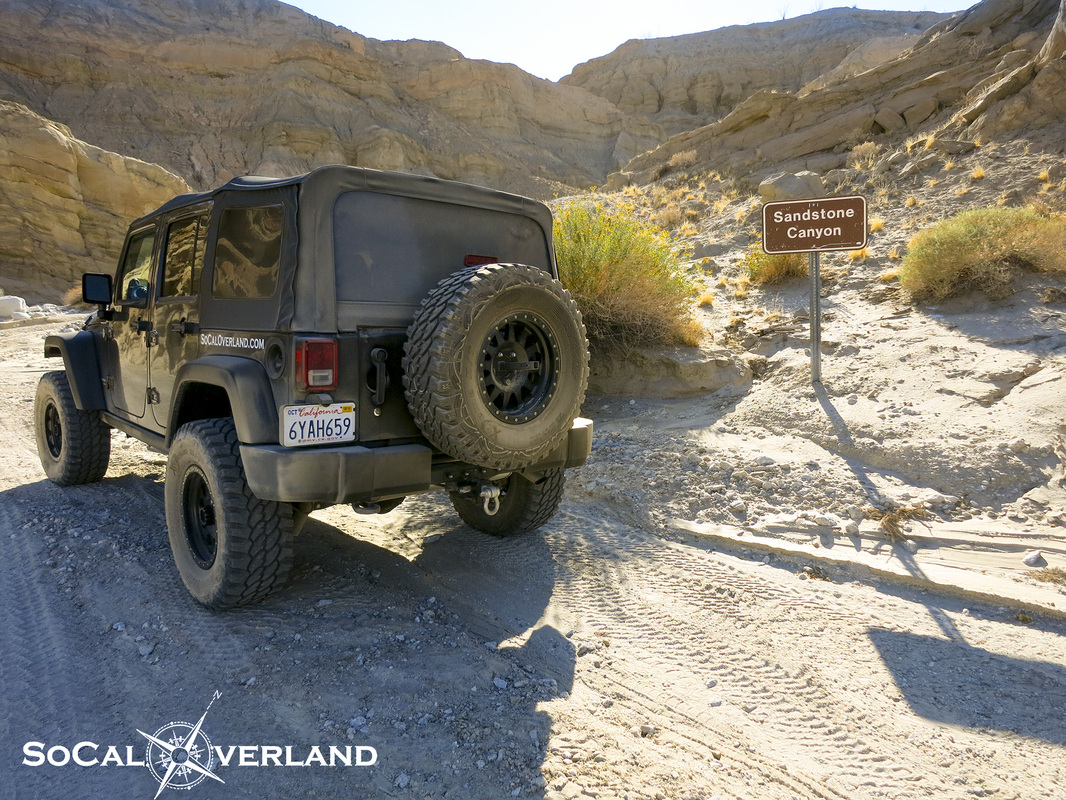
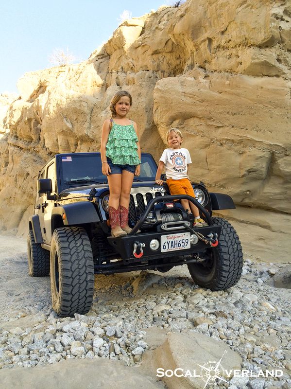
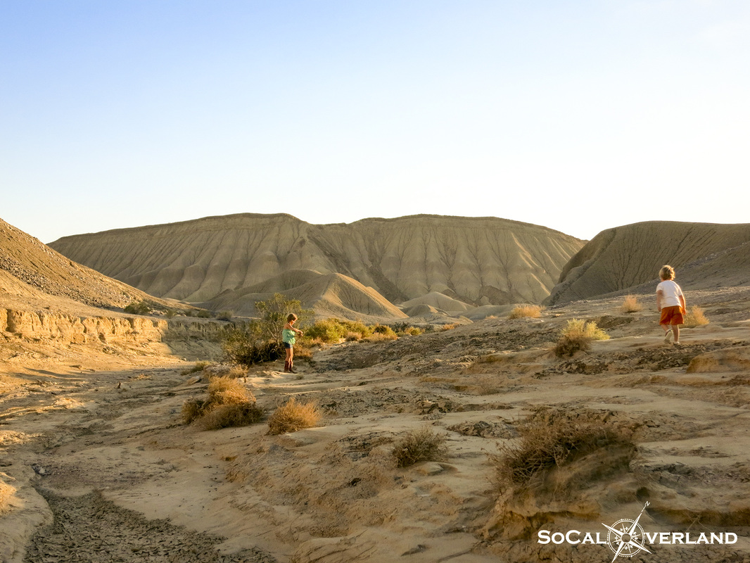
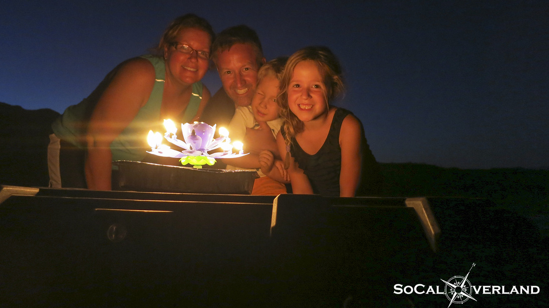
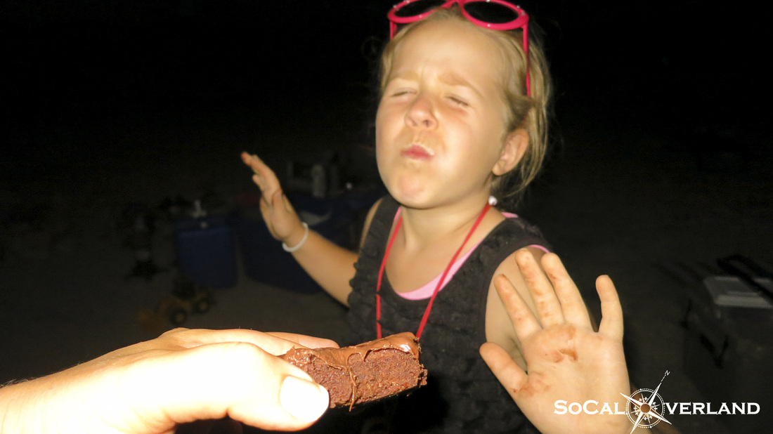
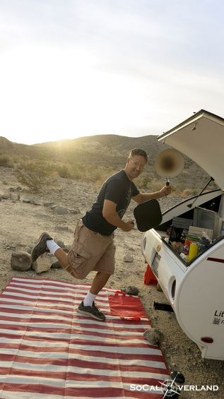
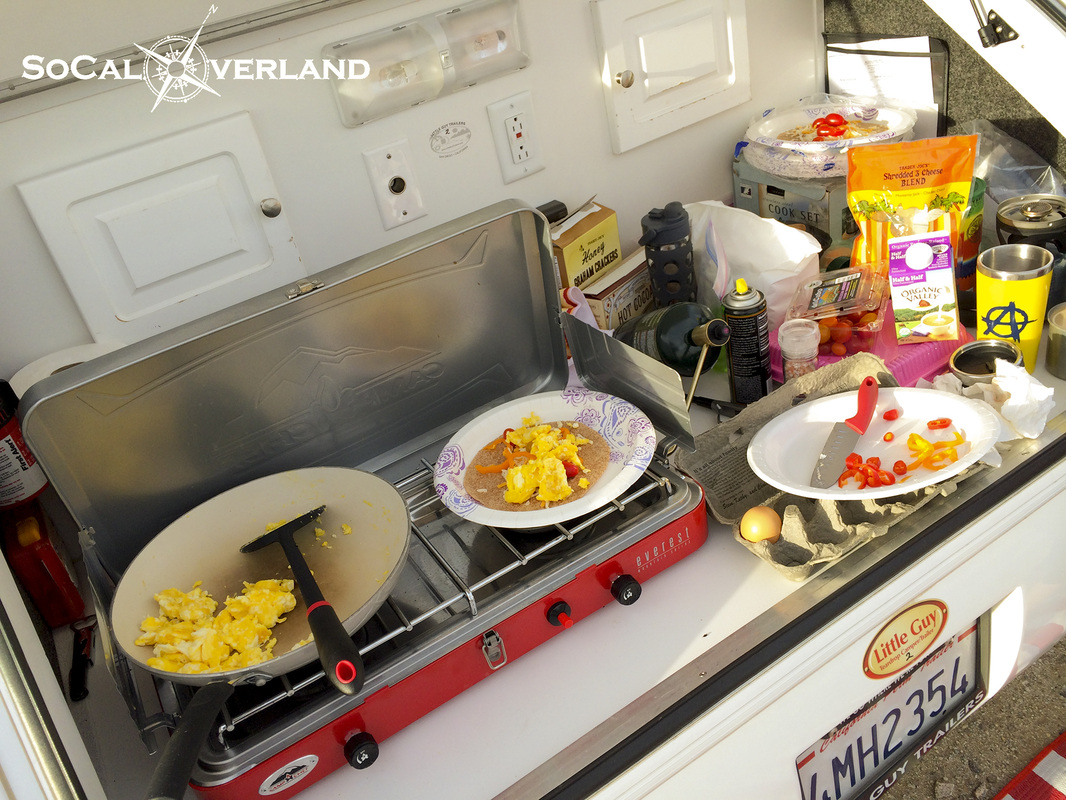
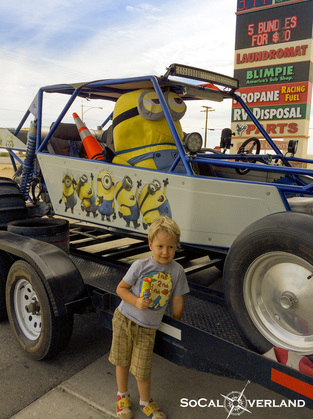
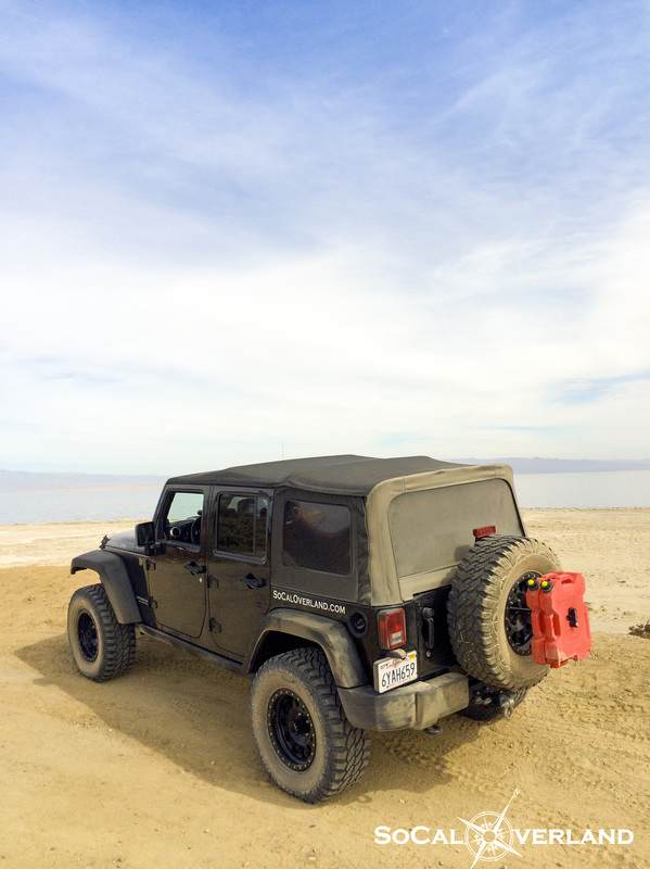
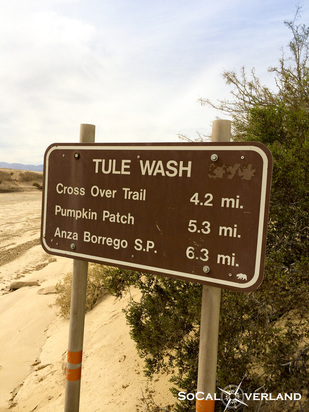
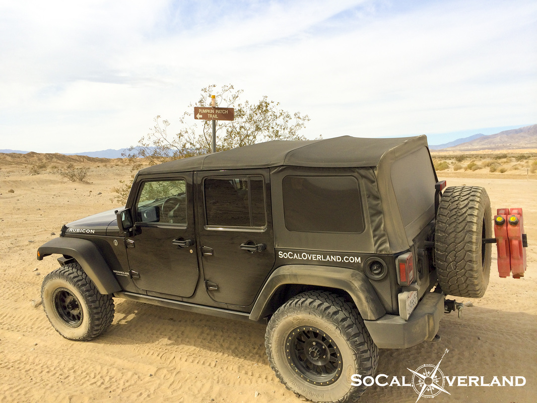
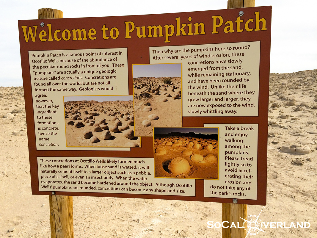
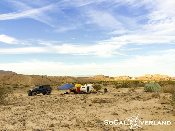
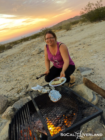
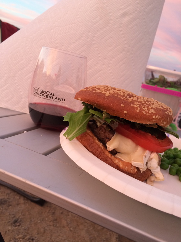
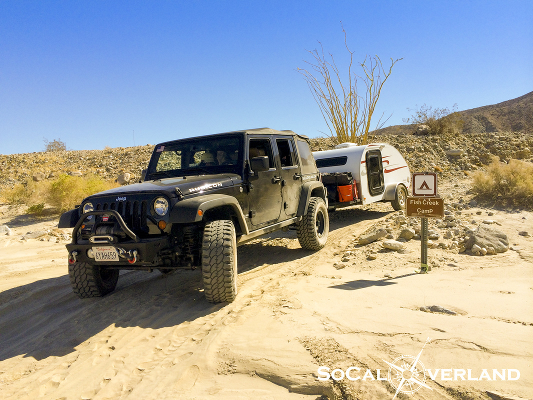
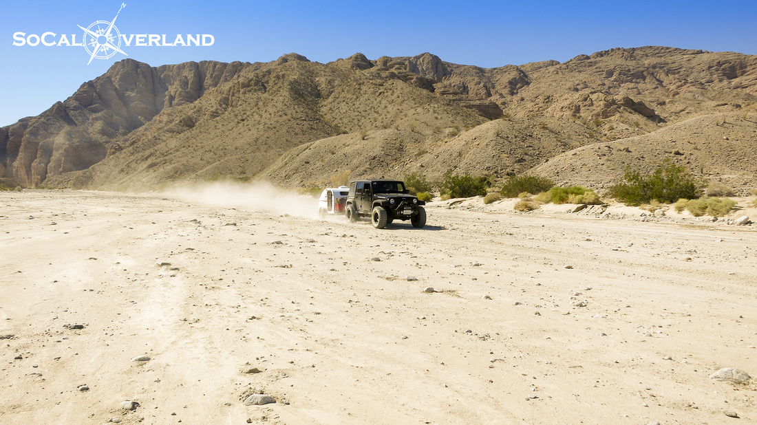
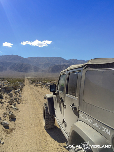
Our October SoCal Overland trip was a great adventure, exploring with a Tear Drop trailer, camping, off-roading, and a birthday. We rented a Tear Drop trailer from our friends at Little Guy Trailers in San Diego. The Tear Drop was perfect for us, allowing us to pack in all of our gear and get us through seven days of travel. The additional front rack on the Tear Drop was perfect for our water containers, gas cans, firewood, crates, and EZ Up shade. Using up all of the extra trailer space helped the kids to have extra room in the Jeep and not feel like they were being packed in like sardines. Our first destination would be Fish Creek in Anza Borrego. We actually took this photo on our departure day as our arrival into Fish Creek would find us exploring under the cover of darkness and a few twinkling stars. As we pulled off the pavement and aimed our rig up Fish Creek under complete darkness, we were determined to get up into the canyon as far as possible and away from any other campers. We passed by the Fish Creek primitive camp turnoff and continued up the canyon with our Tear Drop in tow. Everything was going well, despite the limited lighting being produced by the stock Jeep headlights and overall lack of visibility in the dark canyon. While the Jeep was up for conquering the night, I was concerned for the Tear Drop and navigating large rocks with the low solid axle of the trailer. The last thing I wanted to do was rip the axle off of the trailer. A few miles up into the canyon we came across even larger rocks (boulders) that I knew the Tear Drop would not be able to clear unscathed. So, in the darkness of the night and deepening sand, I needed to put the Jeep into reverse and start backing my way out of a tight spot. With some creative clutch work to keep all four Jeep wheels clawing for traction and the trailer plowing sand in reverse, we were able to get to an opening that allowed us to turn around. Tear Drop unscathed! Everyone celebrates, well, at least I did. After our little adventure, we were all feeling hungry for dinner and eventually a good nights sleep. So, we pointed our rig toward Fish Creek primitive camp and scored a large flat spot for us to comfortably set up a big camp away from any other campers, and this also allowed the kids to run free. The next morning, with sun shining we were able to see where we actually landed in Fish Creek, which as I mentioned turned out to be a great spot. We would definitely take this spot again in the future. As we prepped breakfast and packed lunches for the days adventures, we watched the temperature climb from 80 degrees, to 90 degrees, and eventually by late morning, the temperature would hit 105 degrees. We used both of our shades for cover from the sun and heat. But the best thing was to jump into the Jeep and turn the air-conditioning on at the lowest temp with fans at full speed. A short distance up Fish Creek canyon, we arrived at the Anticline, a formation of earth pushed up from below. 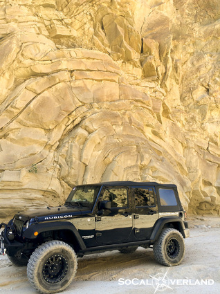 Our Jeep also decided to jump into the Anticline scene for a photo opportunity. As the noon time heat peaked at 105 degrees, we decided it would be a perfect time for the family to get out and stretch their legs with a strenuous 1 mile hike up to the wind caves. With our water systems full, we were determined to hike up to the wind caves. Here is our oldest doing her best solo climb up the rocky trail. Approximately one-third of the way into our hike, we stopped for a scenic view of these lands that were once covered in a sea of water. While our water packs helped to keep us hydrated, there was not a drop of shade to escape the fire ball in the sky. We made it to the wind caves, despite the heat. The kids immediately started exploring everything and found this cool side window to peek out from. 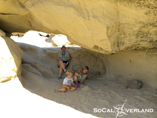 We all enjoyed making the ascent up to the wind caves and had fun exploring in and out of the different areas of shade and sun. The kids eventually found a cool place to spend time making shapes in the sand while we allowed our bodies to cool off before heading back down the trail under the heat of the afternoon sun. Back in the Jeep with air-conditioning at full power, we continued up Fish Creek and into Sandstone Canyon. Sandstone Canyon continues on for a long distance. Though there is a technical section, where giant chunks of sandstone have fallen down from the canyon walls and now block the original trail. The technical section is not completely impassable, but traveling without a second rig made us think twice about conquering a hard core section this day. We decided to take a break, explore the sandstone boulders by foot and let the kids run around, and climb on the Jeep. 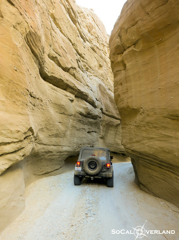 We worked our way out of Sandstone Canyon, making sure to enjoy the vertical canyon walls along the way. While this trail is fairly easy, it is an impressive drive, particularly in the sections where the canyon walls close in, allowing just enough space for a vehicle to squeeze through. After exiting Sandstone Canyon, we backtracked out of Fish Creek Canyon, stopping at Shell Reef for the kids to explore and search for ancient sea shells. We found many pieces of sea shells, which we closely inspected and enjoyed holding, but made sure to leave those pieces of history where they belong for the next visitors to find. The hills of the Elephant's Knees make a perfect backdrop for Shell Reef exploring. That evening we had a birthday celebration for our oldest. We celebrated with a noise making candle and chocolate brownie topped with Nutella. Somehow we always have a way of inventing a new delicious desert on our trips. Incredibly delicious that Nutella topped brownie is! "Most amazing thing in the world", she says. After our previous day of exploring we needed to re-fill the gas tank and cans. The closest gas would be in Salton City, next to the Salton Sea. While fueling up and enjoying some ice creams, our little Minion was attracted to this sand rail, which was all pimped out Minion style, with a giant Minion sized driver. While I had been to the Salton Sea as a kid and remember the bad smells and dead fish, it turns out that Kathy and the kids had never had the experience of being at the Salton Sea. A short drive brought us right near the shore line. This day the weather was a little gloomy with smog filling the Coachella Valley. 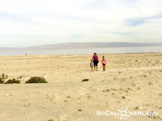 Mom leads the kids out to the stinky shoreline. One of our destinations for this adventure was to get the kids to the Pumpkin Patch in Anza Borrego. After leaving the Salton Sea, we took the dirt Pole Line Road down to Tule Wash, which would bring us to the Pumpkin Patch. Taking the short cut off over to the actual Pumpkin Patch. 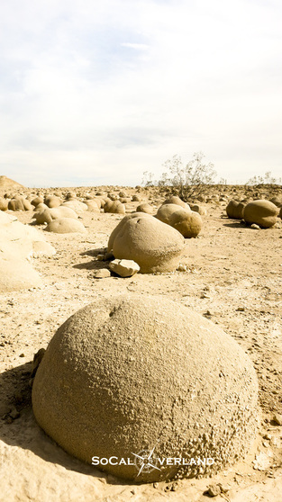 Similarly to how a pearl grows from a tiny spec, these giant "pumpkins" in the Pumpkin Patch grew underground, starting from a small spec of dirt. Over time, these specs of dirt and sand stone grew into larger and larger size sandstone balls. There are still many well defined pumpkins in this patch, though a few have been obviously damaged from the weather and foot traffic. Finishing our third day in Anza Borrego, we decided to make it back to camp before sundown, giving us plenty of time to cook dinner over an open fire. We love cooking over the open fire when we are camping. Delicious brie burgers with grilled onions, fresh tomatoes, and lettuce. Yum, delicious. 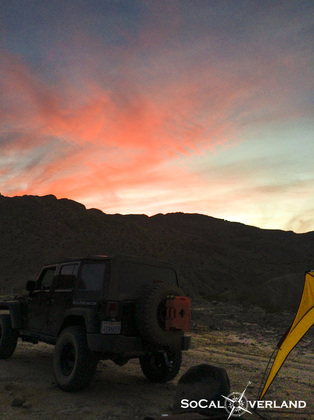 As the sun set behind the hills, we got some relief from the days heat and started to organize ourselves for our next day departure. 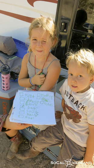 On our morning of departure, we got in a good breakfast and starting the process of packing up all of our gear. The kids were helpful and even made a list of our gear that needed to be remembered and packed up into our Tear Drop trailer. Fish Creek would only be our first destination on this week long adventure. Thanks Fish Creek. We had a great time here and are looking forward to visiting again soon. Fish Creek departure with our Tear Drop in tow. Here we go, off to our next destination. 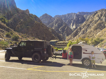 After leaving Fish Creek, we would cross the desert, once again through Salton City, and north toward Palm Springs. We decided to take the kids for a suprise ride on the famous Palm Springs tramway. The parking lot was at a bit of an angle. To ensure extra security beyond leaving the manual transmission in gear and parking brake in a full lock, I decided to push a chunk of firewood behind my rear tire. Such high class. 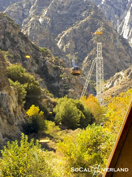 The Palm Springs tramway would quickly bring us from about 2,000 feet elevation to over 9,000 feet in a matter of minutes. As the kids get older, we will plan to hike the final distance up to San Jacinto peak (10,834 feet) and camp on the mountain top. But for this day, we decided to hang out at the restaurant and enjoy lunch with incredible views of the Coachella Valley 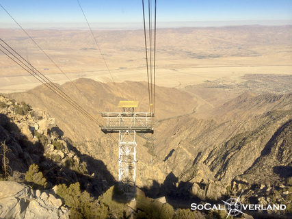 As we ascended up the face of the mountain, we would go through five life zones of plants and animals living on this rocky mountain. Looking out beyond one of the five cable towers and across the desert, we have visions of Joshua Tree National Park more than 20 miles in the distance. We really enjoyed our adventure in Fish Creek and Anza Borrego. We hope you can join us next time.
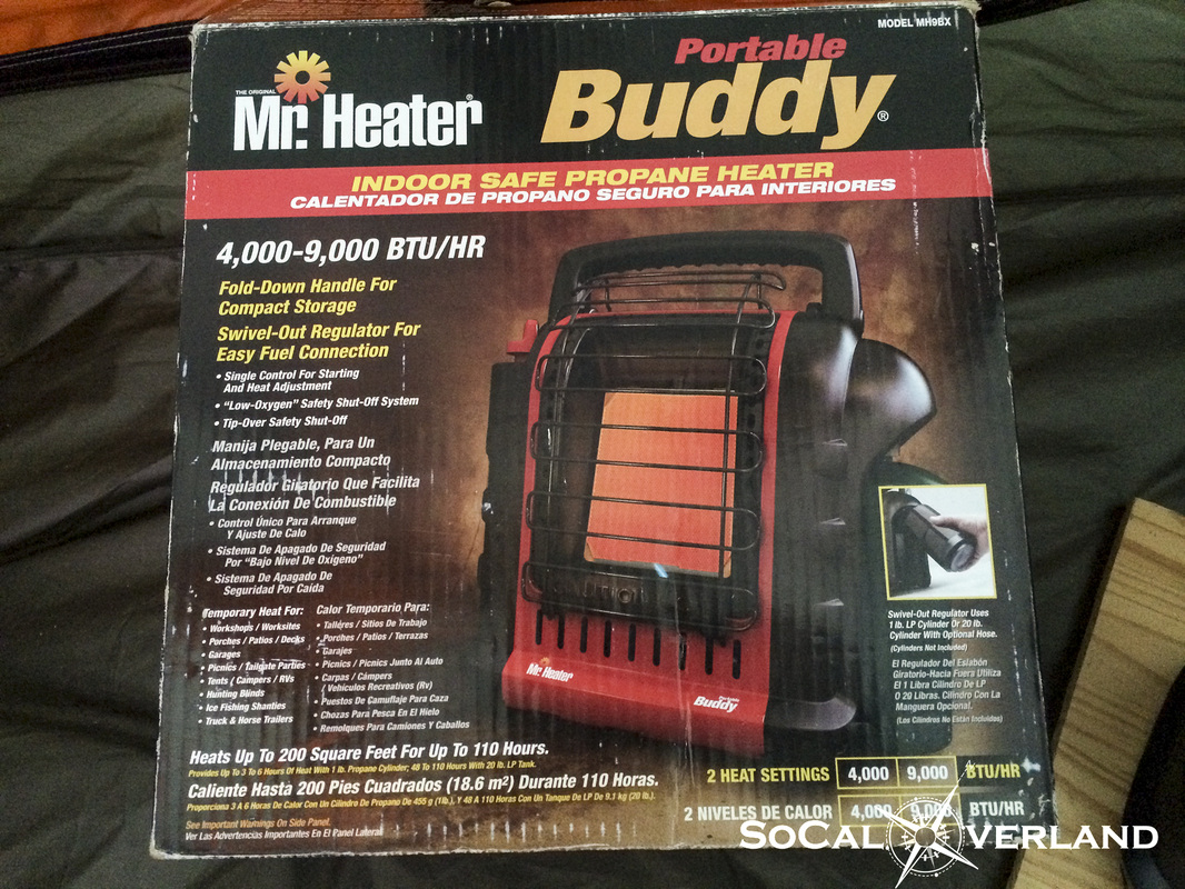
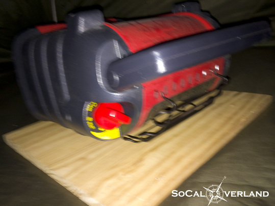
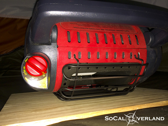
Despite our mostly mild climate in Southern California, we do have opportunities to experience the cold in the winter time. Our local mountains get snow in the winter and our desert temperatures can drop to freezing during the night and early morning. One of the challenges I have found with camping and kids is cold weather. The particular challenge comes after sitting around a roaring campfire on a cold and windy winter night. We will be all bundled up and warm in our jackets, gloves, and head beanies and no one wants to go to bed. Because bed time means changing out of our camp clothes in a cold tent and getting into fresh pajamas before slipping into a yet to be warmed sleeping bag. To help make the transition of getting everyone's clothes changed and snuggled into a sleeping bag a little easier, I had started using a tent heater. In talking with other tent campers, I have found that there can be strong opinions about tent heaters and their safety. I personally have never had an issue with using my tent heater and I have yet to meet someone that has had a negative experience with a tent heater. So, I decided to conduct a non-scientific experiment with my tent heater. But first, I want to make clear that when using my tent heater, I only run it for approximately 15 to 20 minutes. This short amount of time is sufficient to warm my six man tent on a cold and windy night, get the kids changed from their camp clothes and into pajamas, and stuffed into their sleeping bags. My tent heater is the Mr. Heater Buddy model with two heat settings: 4,000 and 9,000 BTU. The high setting helps warm our large tent quickly, and then turning it back to the low setting helps maintain a nice temperature for the duration of bed time activities. 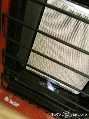 Start up of the heater is fairly easy, but can require a few tries. I have used a lighter to help the process along sometimes; seems in colder temperatures it can be more fussy, which is ironic. Perhaps oxygen levels are lower in colder weather, which challenges the starting process. I don't know. I also use a one inch thick piece of plywood underneath my tent heater for added stability and safety in case of a tip over. 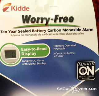 I have heard specific concerns about tent heaters, one is carbon monoxide poisoning and the other is a fire in the case of a tip over. The Mr. Heater Buddy heaters do have a "low oxygen" shut off safety feature. But, to help support this test, I purchased a Kidde Carbon Monoxide sensor to get a measurement from my tent heater running on the high setting in my tent. The Mr. Heater Buddy also has a "tip over" safety shut off feature. And at the end of this test, I also did a tip over test. 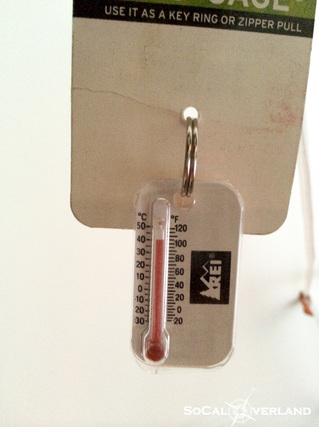 After my Mr. Heater Buddy was lit and warming, I turned it up to the high setting for fifteen minutes. And in that short amount of time, the inside tent temperature climbed to 100 degrees. By this point, I was sweating and determined it was ready to test for carbon monoxide. 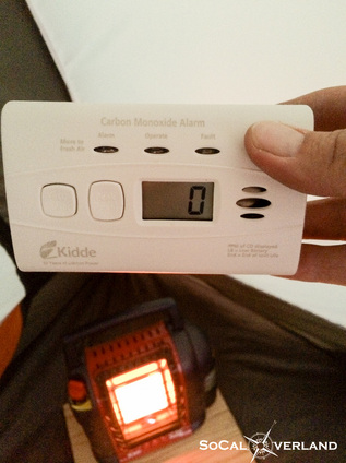 Here is the anti-climatic carbon monoxide measurement in my tent after fifteen minutes of the heater being on the high setting and the temperature reaching 100 degrees. Just to ensure this was an accurate measurement, I hit the reset on the carbon monoxide sensor and waited for another reading of... 0 PPM (parts per million). So, there is no concern here whatsoever. Again, this is not a scientific test and heaters will differ and have different "ideal burn" (combination of oxygen and propane) rates. For the second part of this test, I bumped my Mr. Heater Buddy forward so that it would tip over. It does not tip over easily, particularly when it is sitting on the plywood board, but nevertheless, I bumped it hard enough to tip and did my best to catch an action photo of it falling forward. The heater immediately shut off at tip over and everything stopped. Here my Mr. Heater Buddy rests on its face, still in the hi position, but with no fuel flowing and no heat being produced. While this is not a scientific test, it does confirm my choice to use a tent heater on those blistery cold nights and when waking up in the mornings of course.
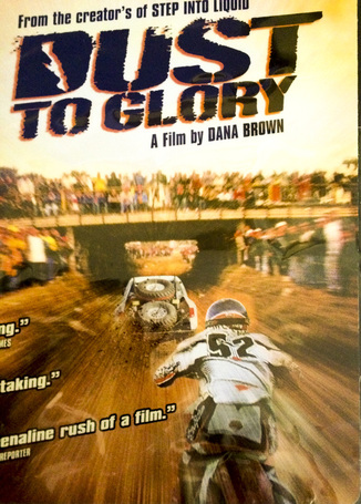
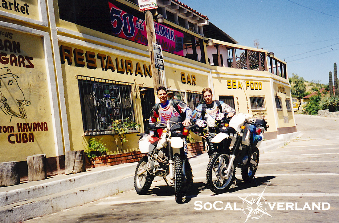
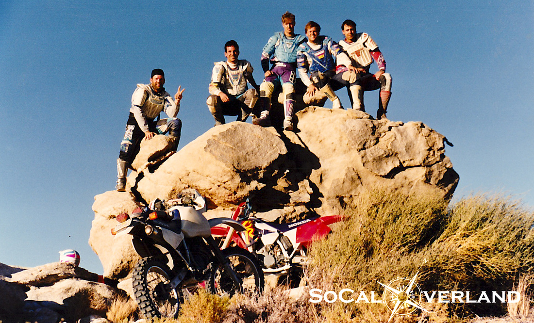
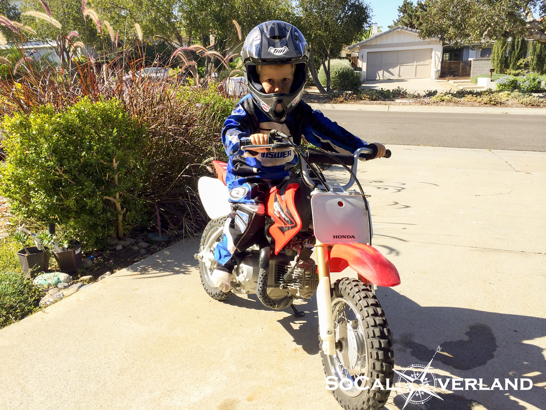
With proper use, which for me is: -Being present while the unit is running -Making sure the heater is on a solid flat surface -Running heater for a limited amount of time (approximately 20 minutes) -Never sleeping with the heater running (if you have a proper sleeping bag, you do not need a heater to remain warm while sleeping). And in this case I feel completely safe using my tent heater. I will also continue to test and monitor the carbon monoxide levels, but my feeling is that I will continue to get a 0 PPM reading. Hope you find this helpful and that your winter camping is pleasantly warm. The Ace Man has been talking a lot about motorcycles lately. And I promise that I have not been prompting him on these requests. He has been bugging me to dig out my old helmet and boots so he could see what they look like and to try them on despite their large size for his little body. He has also been asking to see some older videos of me from when I was riding motocross every weekend. So, today, we pulled out one of my old videos for him to watch, just a few minutes edited to a song. He would ask, "is that you daddy?" Yup, I would respond. Then we would have to watch it all over again. Following that, I decided to treat him to the beginning of Dust to Glory, to which he was captivated and closely watched every second all the way to the very end. Dust to Glory is a very well done film and I highly recommend having a copy in your DVD collection, as it tells the epic story of the Baja 1000 race. Watching Dust to Glory made me think of the first time I rode Baja with a good friend. We stuffed our oversized backpacks and bungee strapped gear to our fenders, front and rear. We started and finished in Santo Tomas, and over the course of a week we would ride more than one thousand miles in a mix of off-road and on-road riding, reaching Bahia de San Francisquito as our southern most point. Along the way, we would get lost, nearly run out of fuel, meet the locals, and experience the culture of Baja along the way. Here we are with fresh tires and all of our ambition ready to start our adventure. (Photo taken June 1998) Which made me think of all of the motorcycle adventures I have had over my many decades of riding and the good friends that have come from all of these experiences. Here with some moto friends at Dove Springs in 1994. Maybe it was a coincidence that my little guy had been talking so much about motorcycles lately, but to his surprise (and his sisters) I had been planning on the arrival of a CRF50 this day.
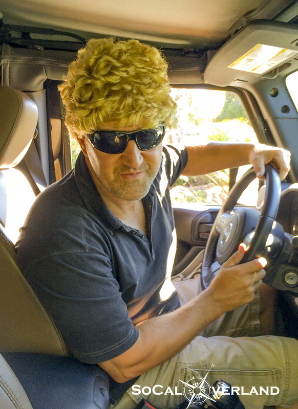
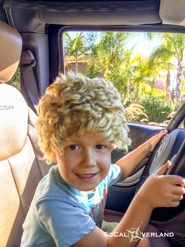
And just like that, a whole new generation of motorcycle riders has been launched. Following our back-to-back to adventures, our camp gear was in need of cleaning, re-packing, and re-stocking. While Mom and KK were out, me and the little guy were left at home to do our work. And with the Halloween stuff still floating around, we decided to have some fun. So, we came across this old wig in a Halloween box and here is what happened. I think this little guy wins the cute competition. We did get some of the camping gear re-organized and cleaned up, but there is still some more work to do. And the garage remains a bit unorganized, but we had fun with the wig.
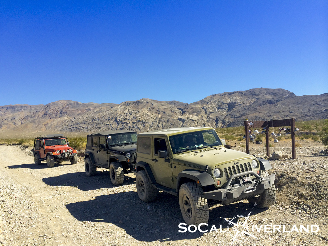
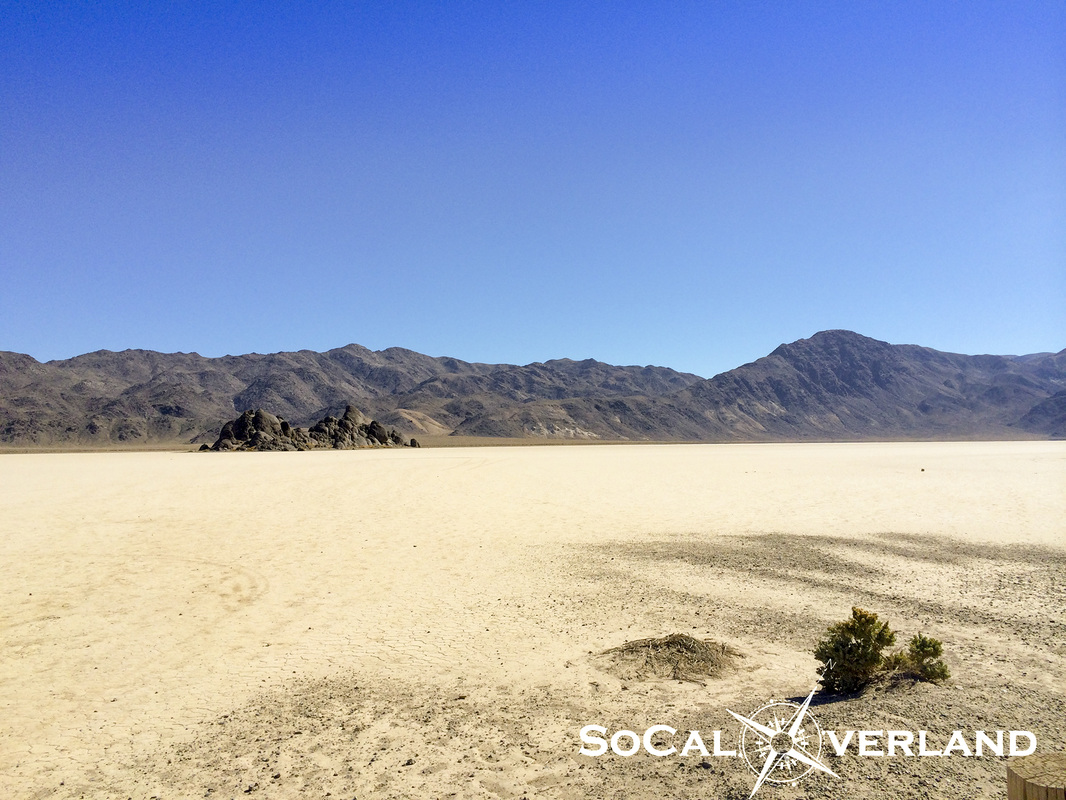
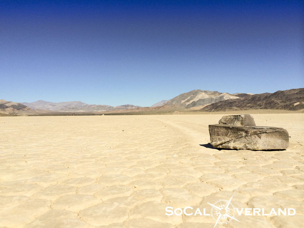
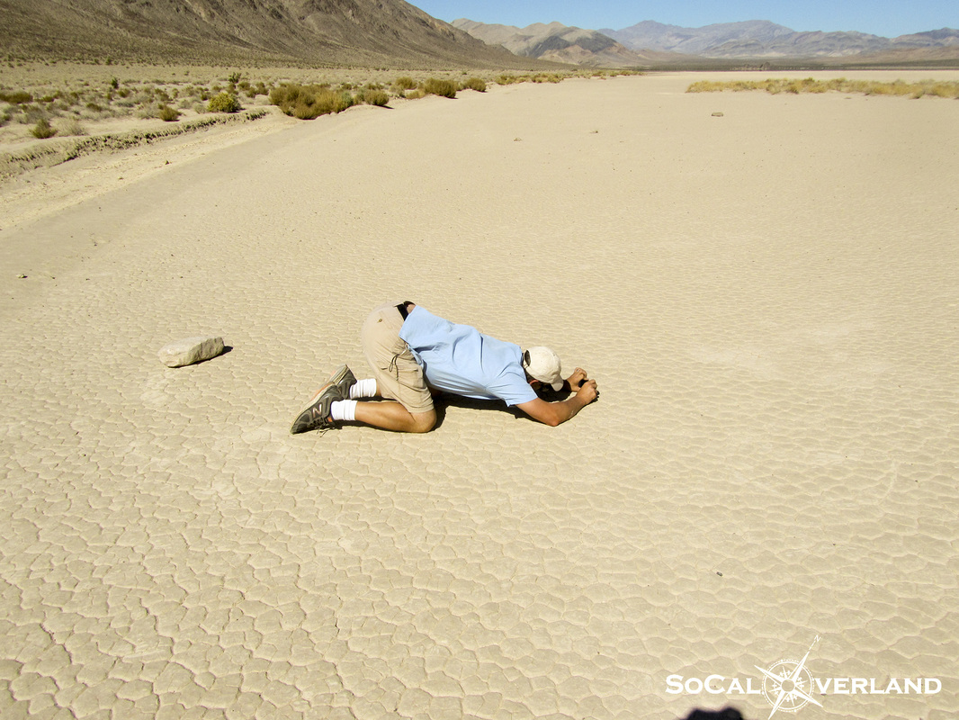
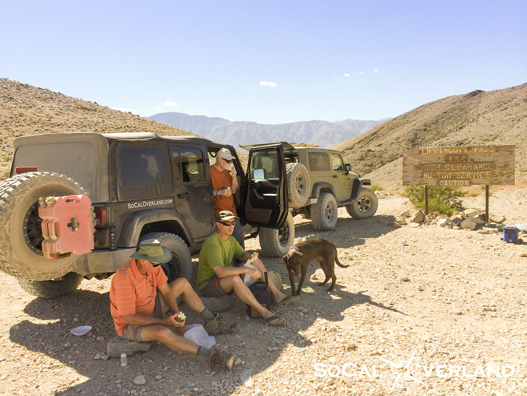
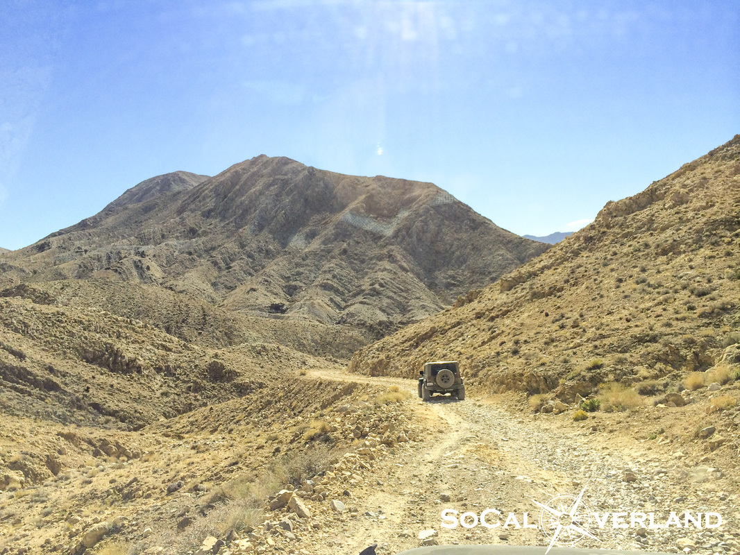
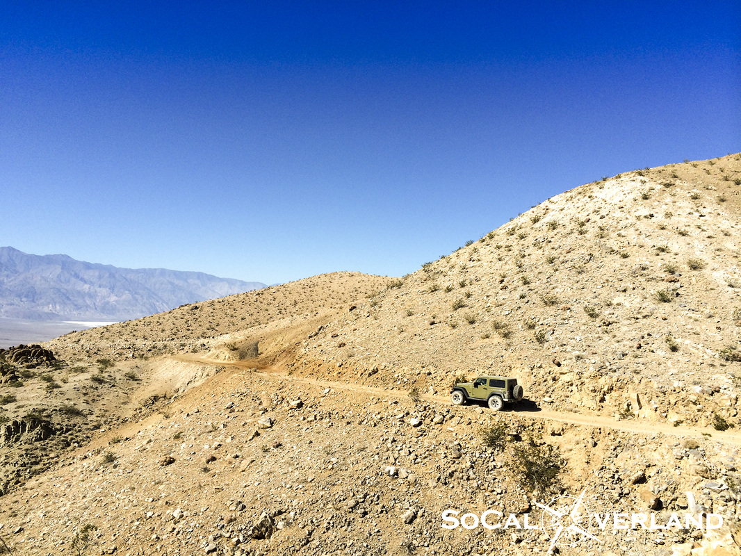
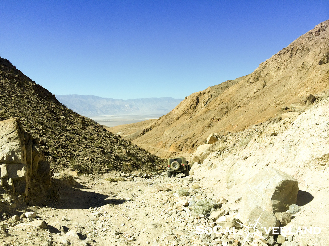
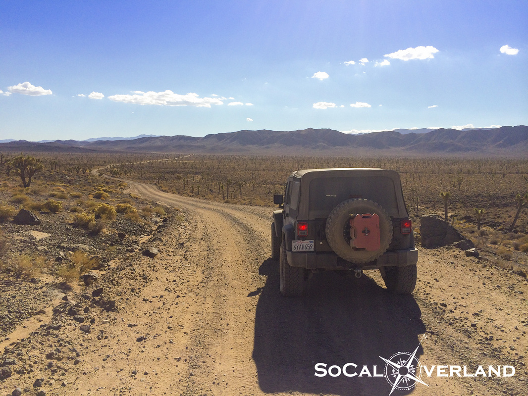
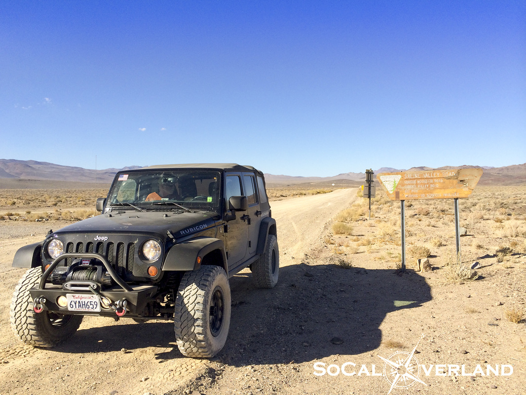
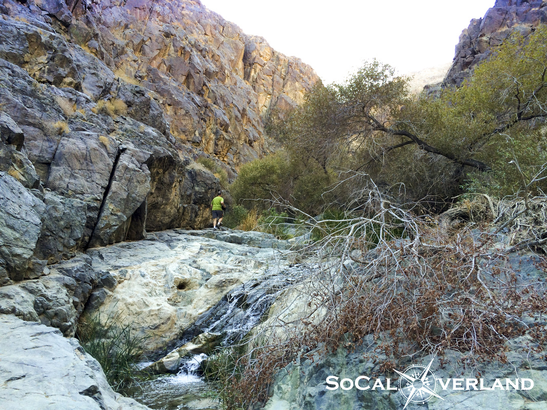
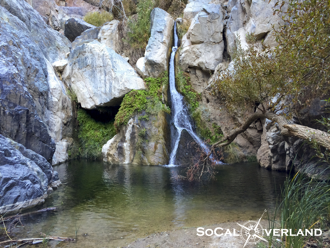
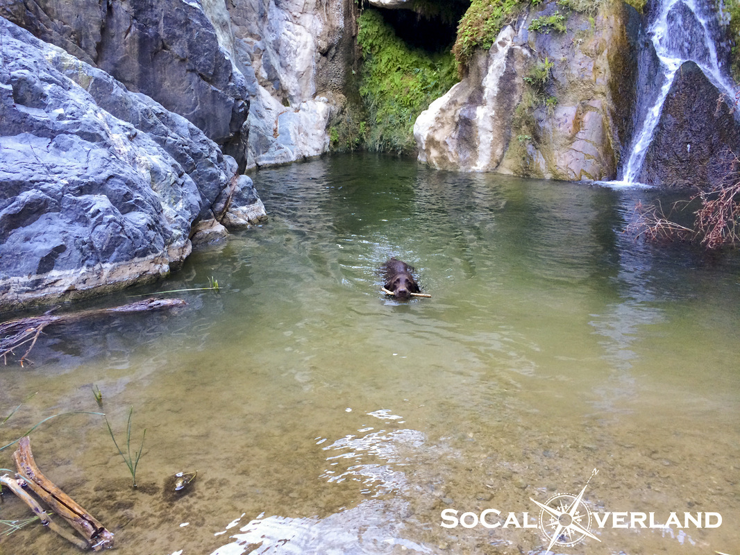
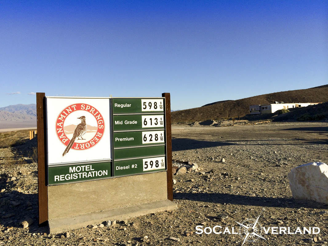
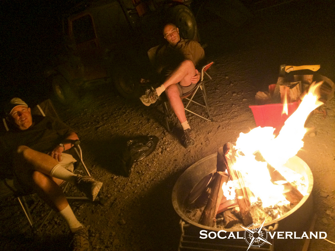
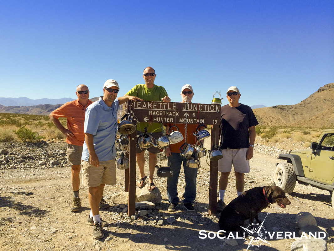
We had a big day two of exploring planned for our Death Valley adventure, which would include Ubehebe Crater, The Racetrack, and Lippincott Trail, which would bring us down into Saline Valley and then connect us to Panamint Valley for a visit to Darwin Falls and then refueling for our return to camp in Wildrose Canyon. We would drive nearly 250 miles this day, with a significant portion off road. The morning kicked off with another fulfilling breakfast, this time it was eggs, bacon, and potatoes. After everyone had a second helping, this is all that was left.  After stuffing ourselves with breakfast and packing our lunch coolers, we drove out of Wildrose Canyon (Emigrant Wash) and headed toward Stovepipe Wells to top off our tanks. Transitioning from Emigrant Wash onto highway 190 is an incredible sight as you descend from 4,000 feet elevation to 0 feet within a short distance on approach to Stovepipe. We topped off our gas tanks in Stovepipe and drove along Scotty's Castle road toward Ubehebe Crater. Ubehebe Crater was not created from a volcano, but rather from pressurized gases that exploded beneath the earth's surface. The crater measures about one-half mile across. There is also another smaller crater behind and to the side of the Ubehebe Crater. After capturing some images here and then talking with a group of Japanese tourists that had spent the previous night at the Racetrack in their rented Suburban due to a flat tire, we decided to hit the trail. 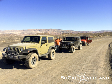 Airing down at the trailhead for The Racetrack. Racetrack Road is maintained by the park service, however, the washboard road can be jarring if you are running your tires with street pressure and cruising at low speeds. 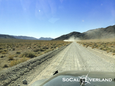 Racing out to The Racetrack across the washboards and sharp rocks. Arriving at the famed Tea Kettle Junction for a quick break and a photo with the many hanging tea kettles. We were going to bring our tea kettle and hang it on the sign, but then realized we would need it for breakfast the next day. 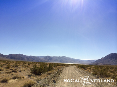 Further along the trail, we could begin to see the black rocks, also known as the The Grandstand, distinguishing itself from The Racetrack Valley floor. The Grandstand sits all alone out in the middle of The Racetrack floor. 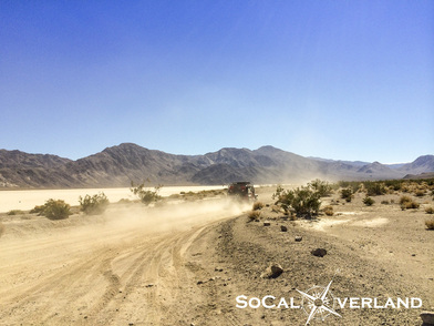 The moving rocks are at the south end of The Racetrack. Here is Red Rider chasing the dust of El Chupacabra to get a look at the rocks. Alas, we had arrived at the scene of the mysterious moving rocks. Which of course, the mystery has been solved by a team of scientists that identified that when the ground freezes and the wind blows, it provides the perfect combination of elements for these rocks to inch their way along the Racetrack, leaving a concave wake in their path. Aside from the science, we were all looking forward to making it to The Racetrack to view the moving rocks that were in a stationary position, at least on this day. And if you were curious as to how I captured that very cool photo of the rock on The Racetrack, it requires a particular yoga move, which my good friend was happy to photograph while I was in mid-pose. It also requires the use of your iPhone for balance, or at least to get the desired photo. 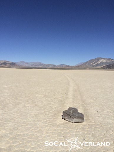 Another image of this moving rock with its track disappearing into the distance. 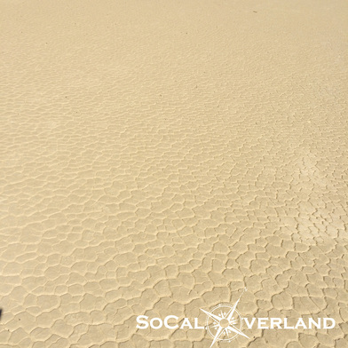 The dry lake bed floor feels and looks as if it were manufactured. Amazing natural patterns remain after all water has evaporated. After hanging out at The Racetrack, we headed up to the Lippincott Trailhead for lunch. Starting down Lippincott Trail, the old Lippincott mine is visible in the distance. Overall, Lippincott is a moderate trail with a lot of small sharp rocks. There are a few technical sections, as well as a lot of shelf road driving. Saline Valley is seen in the distance. 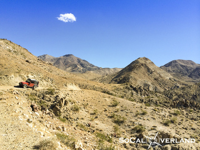 Red Rider navigating an off-camber trail section on Lippincott. Some sections were more technical than others, while navigating around the larger rocks was fun. Welcome to a road with no signs. After reaching the bottom of Lippincott, the expanse of Saline Valley put into perspective the additional mileage we were going to need to cover in order to make it back to camp before dark. My Gaia GPS app on the iPad worked great, helping to keep us on course and not miss any turns. Driving out of Saline Valley brought us up to the mountain pass that would eventually lead us down into Panamint Valley. In this panorama picture, it is hard to see, but at the base of the mountains in the distance are the Panamint Valley Sand Dunes. Saline Valley Road continues to wrap around the mountain along the right side. Saline Valley Road continues all the way out to highway 190. After we hit pavement, we checked our time and progress and determined we would have enough time to visit Darwin Falls in Panamint. At Darwin Falls, a short hike up a large sand wash and some rock scrambling brings you to the falls itself, which provides year round water and is also the water source for Panamint Valley Springs Resort. Despite the cool water temperature, K-Dawg our chocolate lab, decided it was a good place to cool off and fetch a stick. Fueling up in Panamint Springs for $6 a gallon. After driving about 250 miles exploring Death Valley in one day, it was time to head back to camp for dinner. Now that's one full pot of beans!!! We ate beans and more beans and then ate some more beans that night. 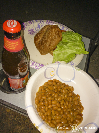 We also had hamburgers as a side dish to our beans along with refreshments. We finished off a great weekend of exploring Death Valley with a warm campfire and some stories recapping our days together. Thanks again to everyone for joining this years Death Valley trip.
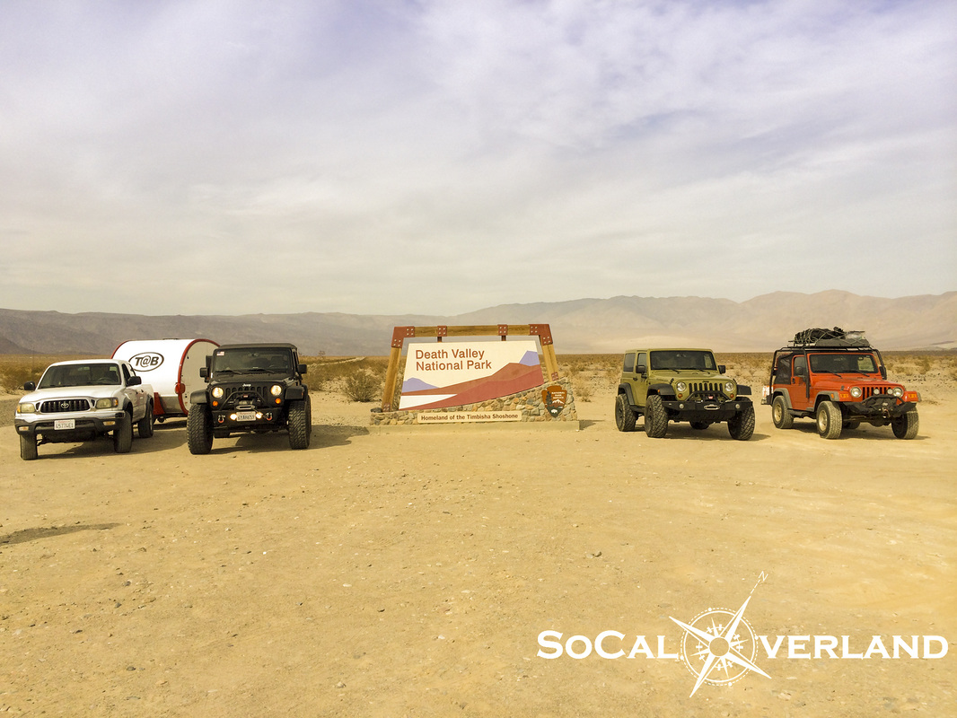
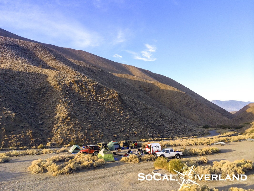
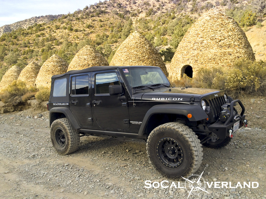
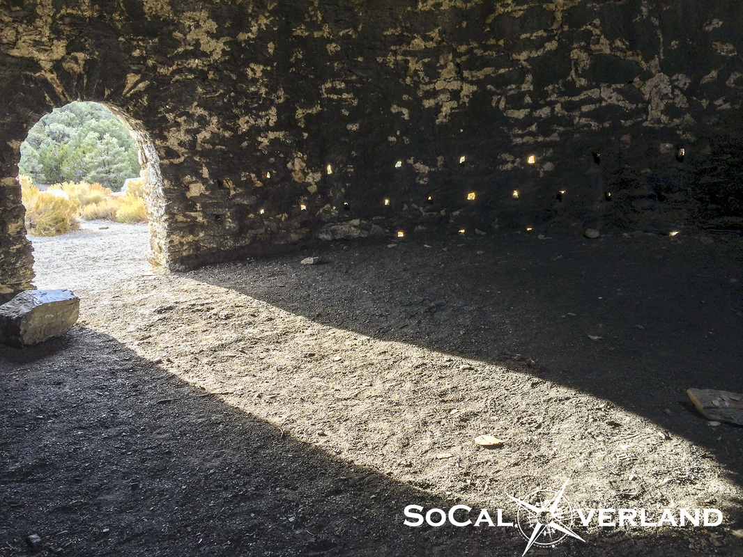
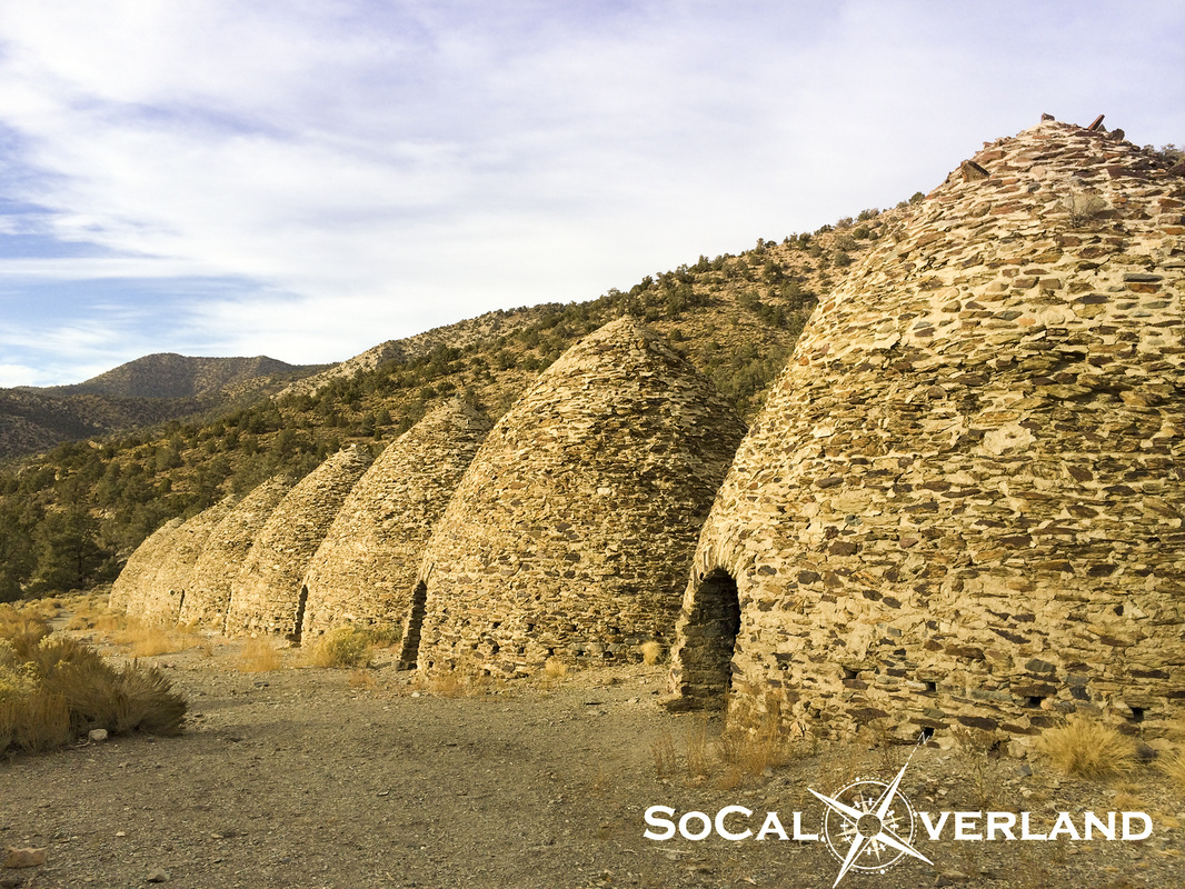
Our first annual SoCal Overland Death Valley adventure kicked off in October 2014. We had four days, two of which were completely dedicated to exploring Death Valley and surrounding areas. While Day 1 and Day 4 were dedicated to getting there and getting home, Day 2 was focused on seeing popular sights including Titus Canyon, Leadfield Ghost Town, Badwater Basin, and passing through Stovepipe Wells for gas as well as Furnace Creek to pay our park fees. Day 3 included viewing Ubehebe Crater, a trip out to the Racetrack to see the moving rocks, Lippencott Trail, Saline Valley, Darwin Falls, and Panamint Valley for $6 a gallon gas. Here are our rigs lined up at the Death Valley National Park sign. 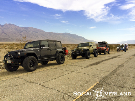 Roadside break before arriving at Wildrose Road cutoff, which happened to be closed due to major flash flood damage. We "heard" that sections of the road were covered in small boulders, tree parts, and mud. More significantly, large portions of the road are completely gone. Hoping the Feds will find the money for these needed road repairs as the additional drive time on highway 178 to highway 190 to the Emigrant Pass cutoff makes the drive into Wildrose camp an hour longer. Considering that Death Valley can still be fairly hot (100+F) in October, Wildrose Camp at about 4,000 feet elevation provided a pleasant escape from the valley heat. And with nearly every square inch of Death Valley being absent of cellular service, we were sure to be off the grid for a few days. Because Wildrose is very much off the beaten path, there were very few other campers here during our stay, in fact, by Saturday night, we were the only campers here. 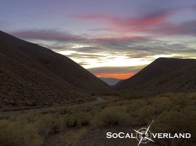 We also had beautiful sunsets viewed from camp each night. 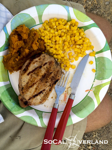 And we ate like kings for breakfast and dinner each day, thanks to our outstanding chefs. That's grilled pork chops, sweet potato, and corn for Friday night dinner. Lunches were delicious as well, but enjoyed on the trail. And just a little further up the canyon from our Wildrose Camp are the still very well preserved Charcoal Kilns that I had been wanting to see in person for a long time.
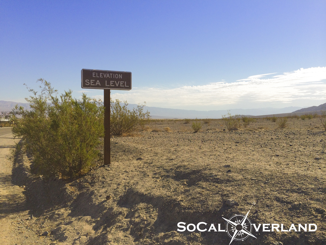
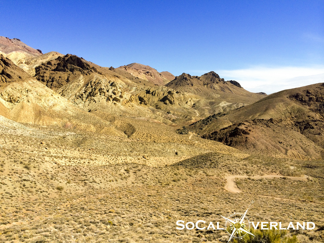
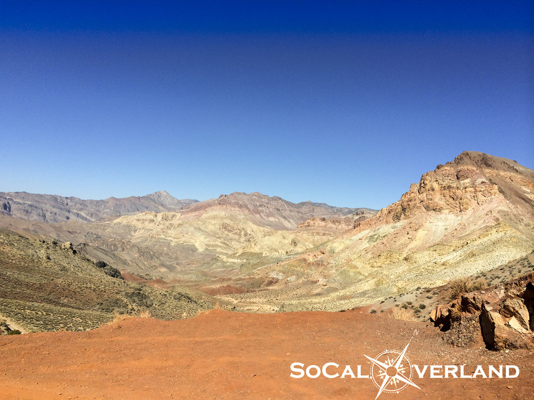
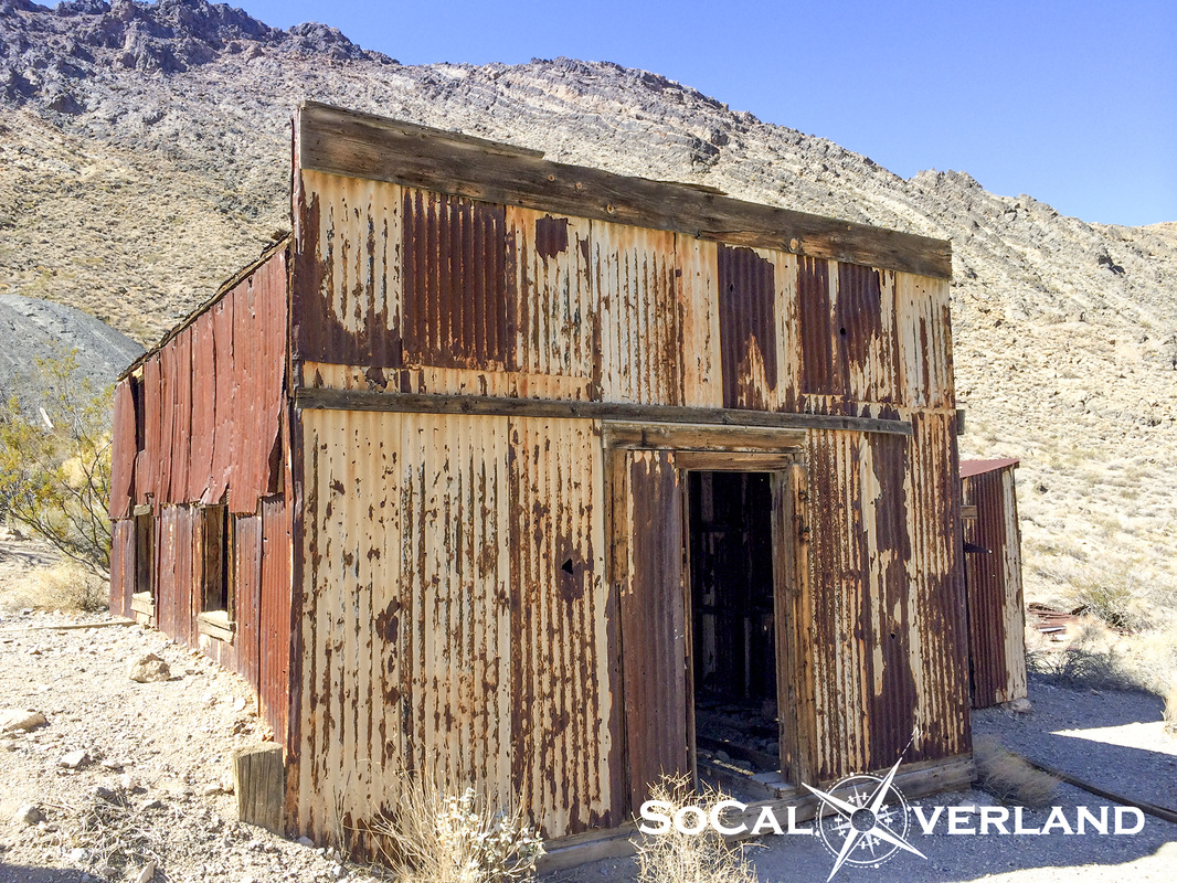
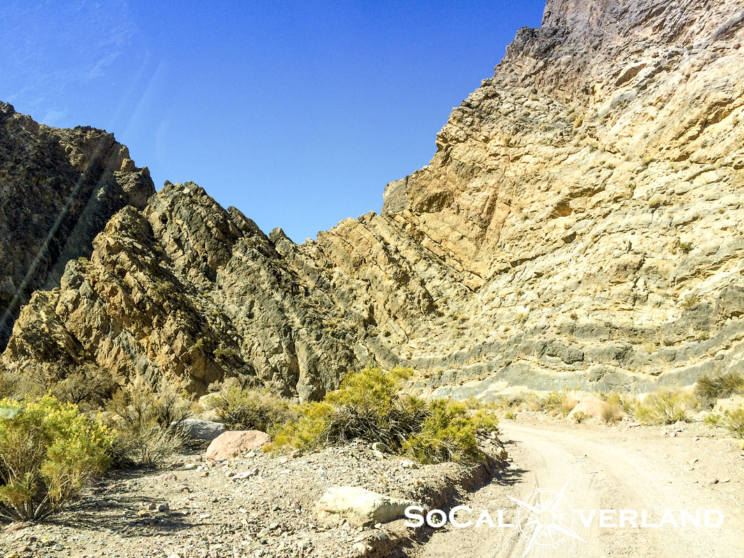
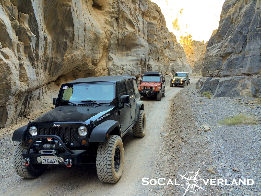
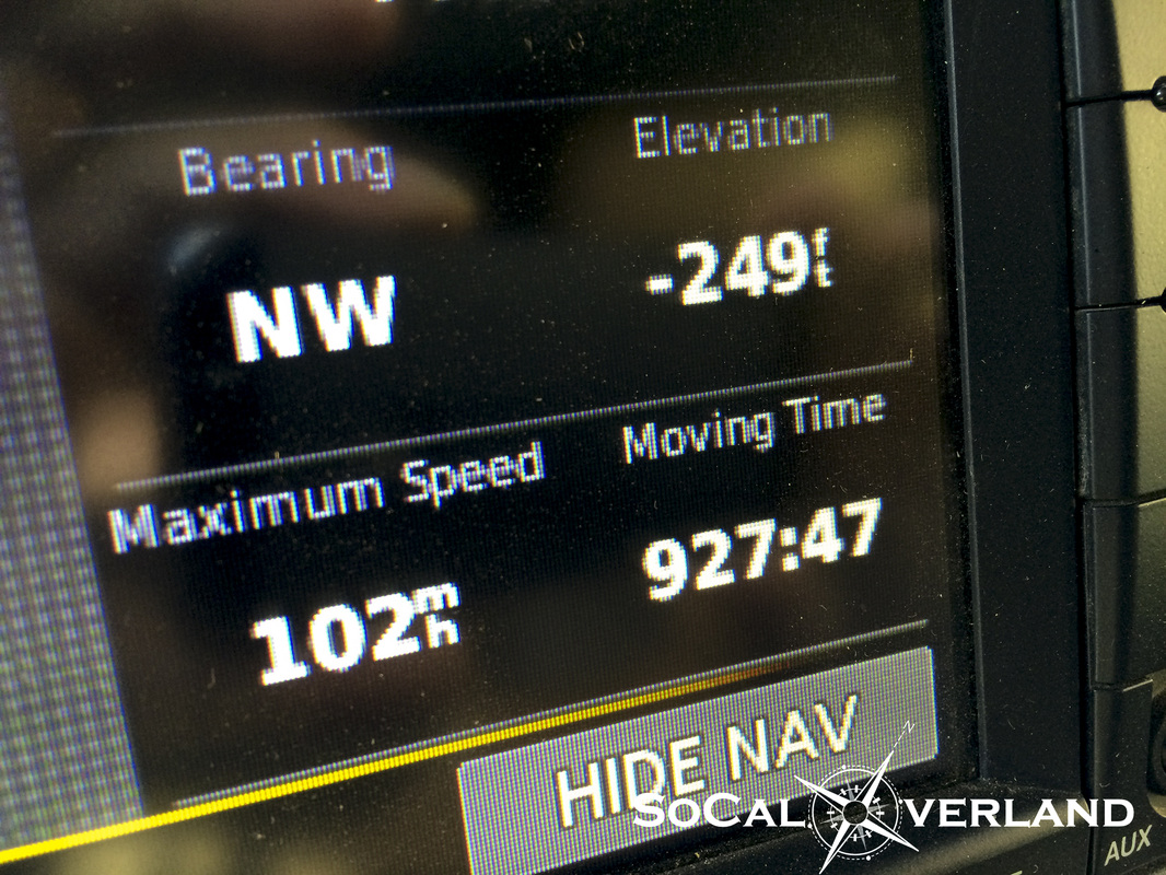
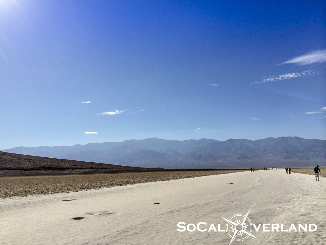
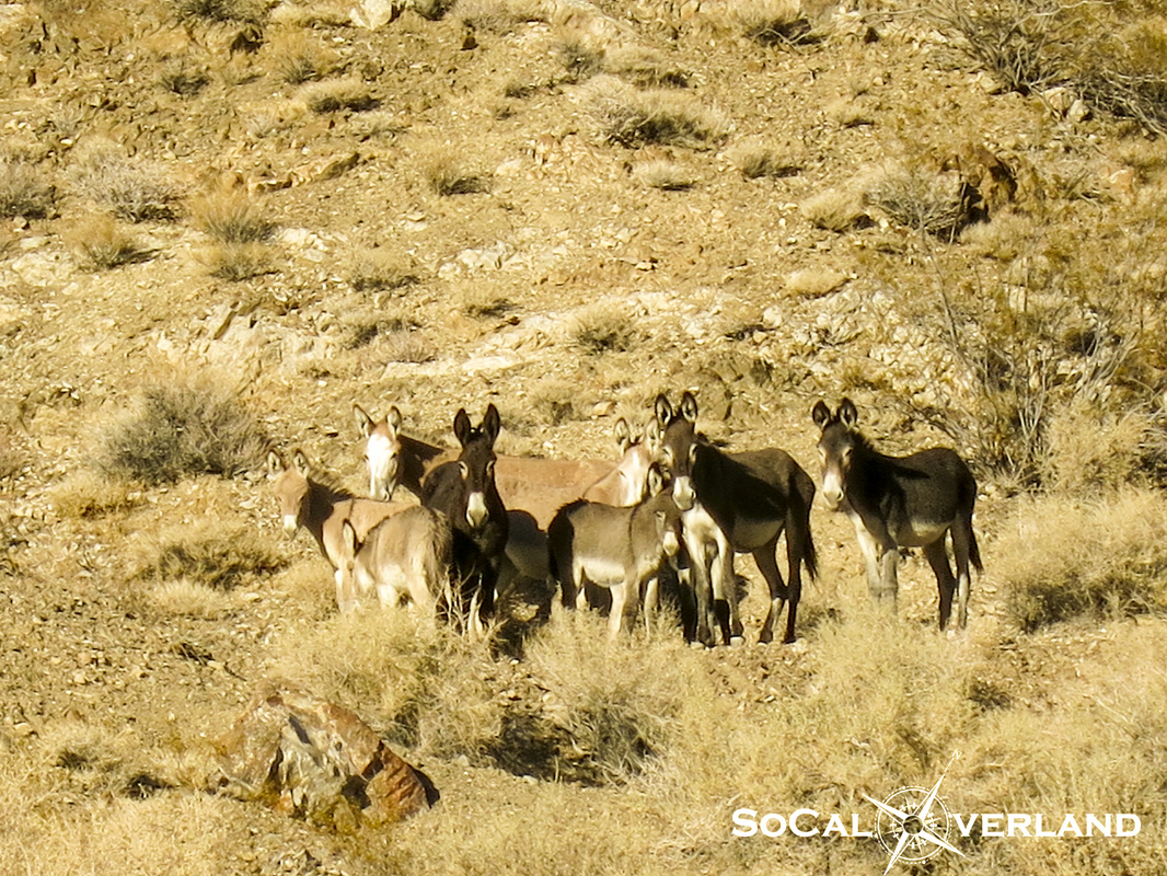
Day two, we headed out of the canyon to Stovepipe Wells to fuel up and drive into Nevada to begin our exploration of another long awaited site that our entire group had wanted to see. Speaking of seeing things, here is the "At Sea Level" sign across the street from the Stovepipe Wells gas station. Have you seen this before? 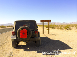 The drive from Stovepipe Wells into Nevada ended at the turnoff for Titus Canyon. No slot machines here. Overall, Titus Canyon is typically a well maintained dirt road suitable for all stock SUVs (like a Toyota Highlander). Though, it is always a good idea to check with the ranger station before heading into Titus Canyon, just in case you have any doubts. Titus Canyon is a one way trail with incredible geologic features as well as remnants of the short-lived town of Leadfield, which is now just (barely) a ghost town as much of the buildings and structures have dissappeared. 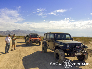 Airing down for ride comfort before blazing across the dry desert washboard road into Titus Canyon. Note that there was intermittent cell phone service along the initial few miles of trail. 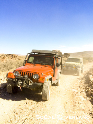 Red Rider and El Chupacabra stirring up dust along the trail into Titus Canyon. 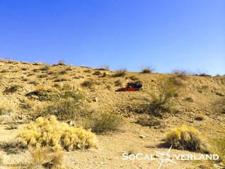 Can you find the red Jeep in this picture? Looking back at the road of Titus Canyon as we gained elevation. The trail slowly works its way into the surroundings of mountains. As you go deeper into Titus Canyon, the mountains display a geologic rainbow of colors from all of the different minerals that reside in this area. Seeing this area in person is amazing. 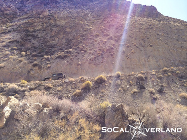 El Chupacabra getting closer to Leadfield. One of the few remaining structures still standing in the Ghost Town of Leadfield. I read that much of Leadfield was looted for the materials until the U.S. government stepped in and began protecting what was left of this Ghost Town. 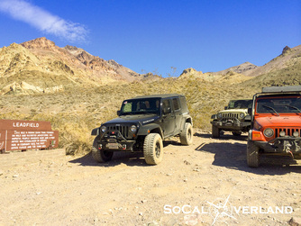 Leadfield was short lived, going from boom-to-bust in about 12 months time. Convenient parking across the trail from building remnants. Further along the trail, things get interesting as the earth displays a dramatic uplift of the rock layers. However, according to other sources, this upward bend of the rock layers in Titus Canyon is only a visual trick of the eye. And the park has therefore removed the sign that once stood here explaining the uplift of the earth. Having been to this point in person now, it appears to be very clearly an uplift of the rock layers. I am not a geologist or scientist, but this is what it looks like and it looks like an uplift of the earth, so go figure. Exploring deeper into Titus Canyon, the walls narrow in upon each other displaying more amazing color variations.  Titus Canyon eventually opens up, where millions of years ago water rushed out into the valley below. Today, the graded road winds its way down to Scotty's Castle Road. In an effort to add a few more items to the "been there, done that" list, we took a long trek across the valley floor to Badwater where the elevation dips to -282 feet below sea level. And as the mountains here continue to rise, the Badwater Basin continues to slip further below sea level. Badwater Basin is the lowest point on land in all of the western hemisphere. In the parking area at Badwater, my Jeep Garmin GPS gave me a fairly accurate reading of -249 feet. Though more surprising was my recorded Maximum Speed of 102MPH. I did not know Wranglers could go that fast; perhaps this was achieved in manufacturer testing before I took delivery of my Wrangler (???). Hot and dry at Badwater. The ground here has been flattened by the thousands of visitors walking out onto the dry sea bed. After a long day of exploring, we turned our rigs back toward Stovepipe Wells and into Wildrose Canyon. As we arrived back at camp, we discovered 22 burros hanging out on the hillside above our camp. While we suspected these burros to be government drones set out to spy on us, we later determined that they were real and only interested in getting to the other side of the road for a drink of water. Hey, what do you call a baby burro? A "burrito". We are working on posting Day 3 pictures of Ubehebe Crater, The Racetrack, Lippencott Trail, Saline Valley, Darwin Falls, and Panamint Valley.
|
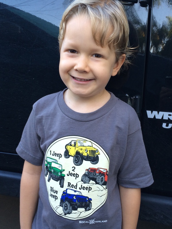
Share your Overland StoryAre you an overland travel adventurer? Now Available! SoCal Overland ShirtsSoCal Overland Hats are HereCategories
All
Archives
June 2016
|









 RSS Feed