
Our first annual SoCal Overland Death Valley adventure kicked off in October 2014. We had four days, two of which were completely dedicated to exploring Death Valley and surrounding areas.
While Day 1 and Day 4 were dedicated to getting there and getting home, Day 2 was focused on seeing popular sights including Titus Canyon, Leadfield Ghost Town, Badwater Basin, and passing through Stovepipe Wells for gas as well as Furnace Creek to pay our park fees.
Day 3 included viewing Ubehebe Crater, a trip out to the Racetrack to see the moving rocks, Lippencott Trail, Saline Valley, Darwin Falls, and Panamint Valley for $6 a gallon gas.
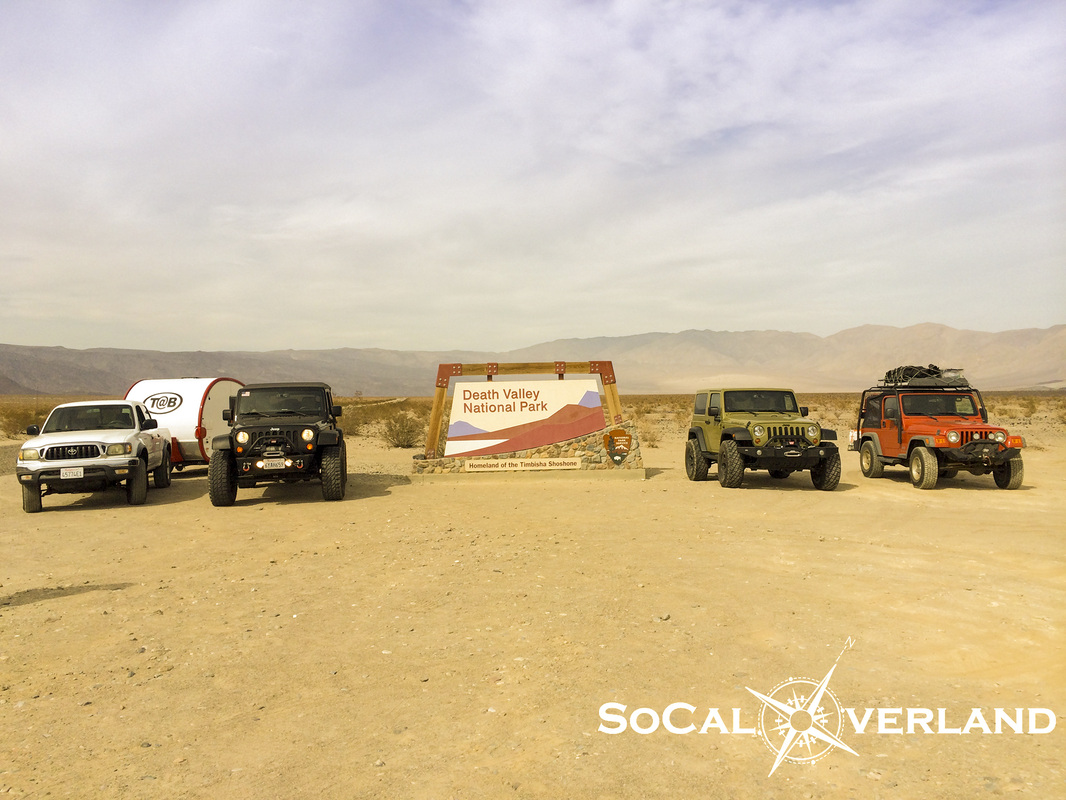
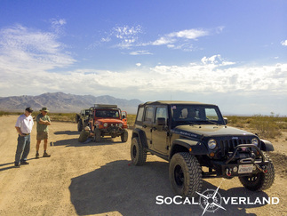
Here are our rigs lined up at the Death Valley National Park sign.
While Day 1 and Day 4 were dedicated to getting there and getting home, Day 2 was focused on seeing popular sights including Titus Canyon, Leadfield Ghost Town, Badwater Basin, and passing through Stovepipe Wells for gas as well as Furnace Creek to pay our park fees.
Day 3 included viewing Ubehebe Crater, a trip out to the Racetrack to see the moving rocks, Lippencott Trail, Saline Valley, Darwin Falls, and Panamint Valley for $6 a gallon gas.
Here are our rigs lined up at the Death Valley National Park sign.
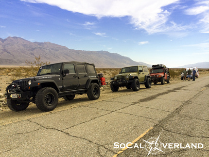
Roadside break before arriving at Wildrose Road cutoff, which happened to be closed due to major flash flood damage. We "heard" that sections of the road were covered in small boulders, tree parts, and mud. More significantly, large portions of the road are completely gone. Hoping the Feds will find the money for these needed road repairs as the additional drive time on highway 178 to highway 190 to the Emigrant Pass cutoff makes the drive into Wildrose camp an hour longer.
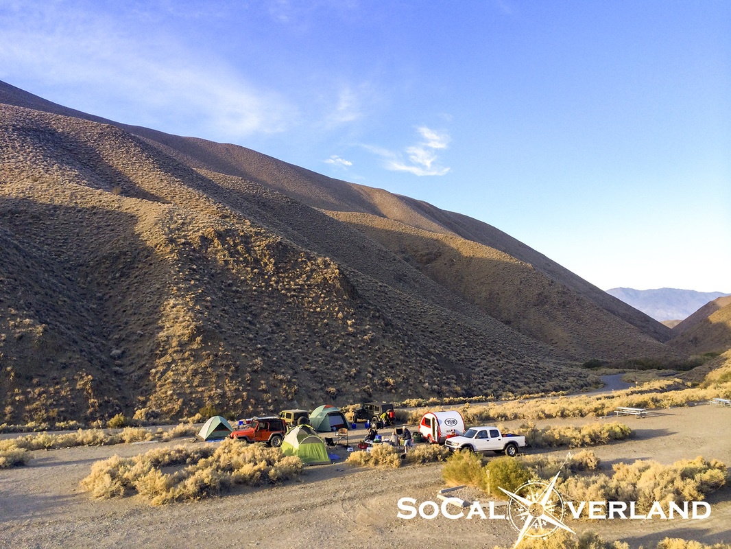
Considering that Death Valley can still be fairly hot (100+F) in October, Wildrose Camp at about 4,000 feet elevation provided a pleasant escape from the valley heat. And with nearly every square inch of Death Valley being absent of cellular service, we were sure to be off the grid for a few days.
Because Wildrose is very much off the beaten path, there were very few other campers here during our stay, in fact, by Saturday night, we were the only campers here.
Because Wildrose is very much off the beaten path, there were very few other campers here during our stay, in fact, by Saturday night, we were the only campers here.
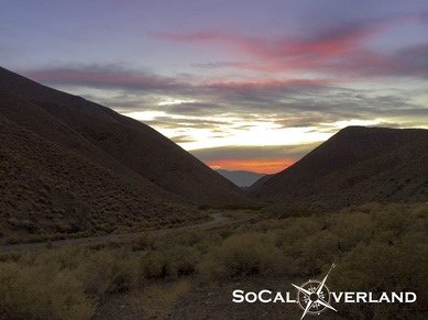
We also had beautiful sunsets viewed from camp each night.
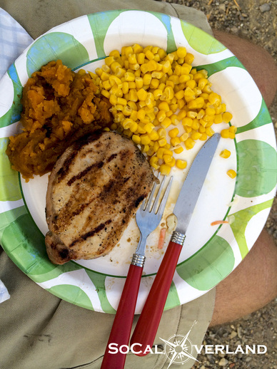
And we ate like kings for breakfast and dinner each day, thanks to our outstanding chefs.
That's grilled pork chops, sweet potato, and corn for Friday night dinner.
Lunches were delicious as well, but enjoyed on the trail.
That's grilled pork chops, sweet potato, and corn for Friday night dinner.
Lunches were delicious as well, but enjoyed on the trail.
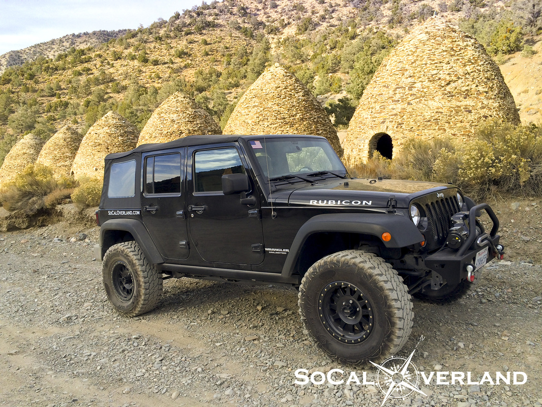
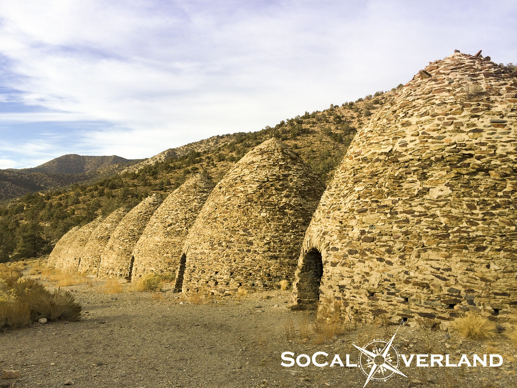
And just a little further up the canyon from our Wildrose Camp are the still very well preserved Charcoal Kilns that I had been wanting to see in person for a long time.
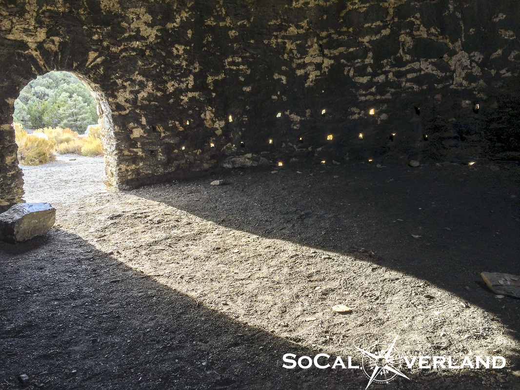
| Inside each kiln you will still smell the scent of cooked Pinyon Pine tree lumber. The charcoal kilns were designed by Swiss engineers and built by Chinese laborers. The 10 kilns were built in 1879 and in use for only three years, which helped them to remain in very good condition more than 100 years later. |
Day two, we headed out of the canyon to Stovepipe Wells to fuel up and drive into Nevada to begin our exploration of another long awaited site that our entire group had wanted to see.
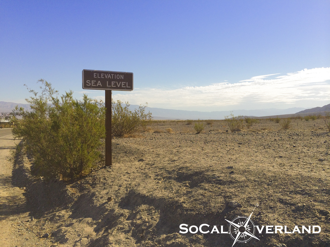
Speaking of seeing things, here is the "At Sea Level" sign across the street from the Stovepipe Wells gas station. Have you seen this before?
Speaking of seeing things, here is the "At Sea Level" sign across the street from the Stovepipe Wells gas station. Have you seen this before?

The drive from Stovepipe Wells into Nevada ended at the turnoff for Titus Canyon. No slot machines here.
Overall, Titus Canyon is typically a well maintained dirt road suitable for all stock SUVs (like a Toyota Highlander). Though, it is always a good idea to check with the ranger station before heading into Titus Canyon, just in case you have any doubts.
Titus Canyon is a one way trail with incredible geologic features as well as remnants of the short-lived town of Leadfield, which is now just (barely) a ghost town as much of the buildings and structures have dissappeared.
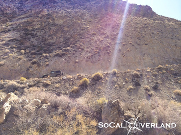
Airing down for ride comfort before blazing across the dry desert washboard road into Titus Canyon.
Note that there was intermittent cell phone service along the initial few miles of trail.
Note that there was intermittent cell phone service along the initial few miles of trail.
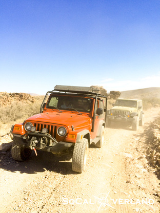
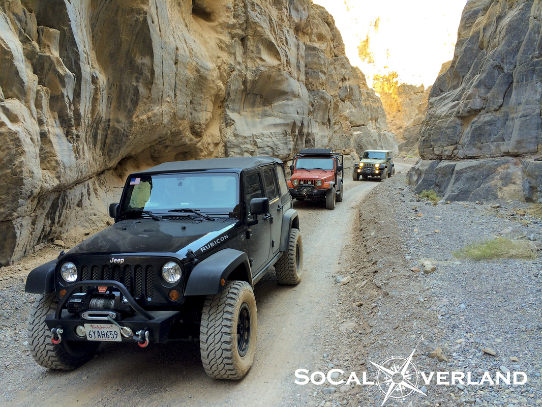
Red Rider and El Chupacabra stirring up dust along the trail into Titus Canyon.
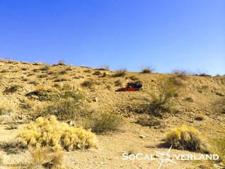
Can you find the red Jeep in this picture?
Looking back at the road of Titus Canyon as we gained elevation. The trail slowly works its way into the surroundings of mountains.
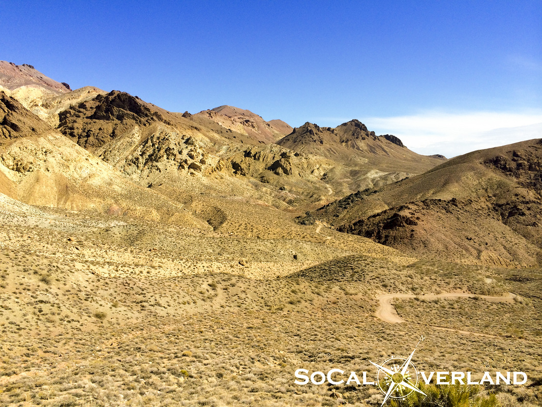
As you go deeper into Titus Canyon, the mountains display a geologic rainbow of colors from all of the different minerals that reside in this area.
Seeing this area in person is amazing.
Seeing this area in person is amazing.
El Chupacabra getting closer to Leadfield.
One of the few remaining structures still standing in the Ghost Town of Leadfield. I read that much of Leadfield was looted for the materials until the U.S. government stepped in and began protecting what was left of this Ghost Town.
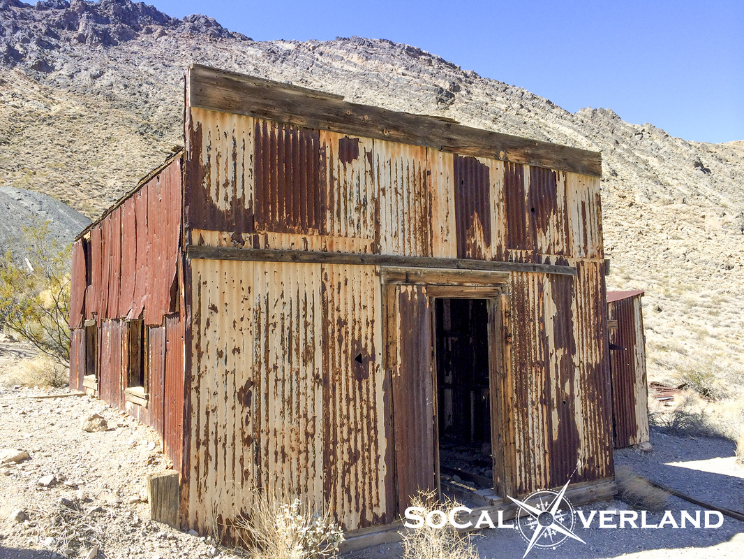
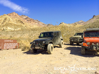
Leadfield was short lived, going from boom-to-bust in about 12 months time.
Convenient parking across the trail from building remnants.
Convenient parking across the trail from building remnants.
Further along the trail, things get interesting as the earth displays a dramatic uplift of the rock layers. However, according to other sources, this upward bend of the rock layers in Titus Canyon is only a visual trick of the eye. And the park has therefore removed the sign that once stood here explaining the uplift of the earth.
Having been to this point in person now, it appears to be very clearly an uplift of the rock layers. I am not a geologist or scientist, but this is what it looks like and it looks like an uplift of the earth, so go figure.
Having been to this point in person now, it appears to be very clearly an uplift of the rock layers. I am not a geologist or scientist, but this is what it looks like and it looks like an uplift of the earth, so go figure.
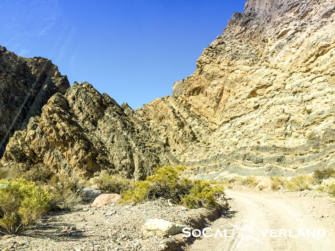
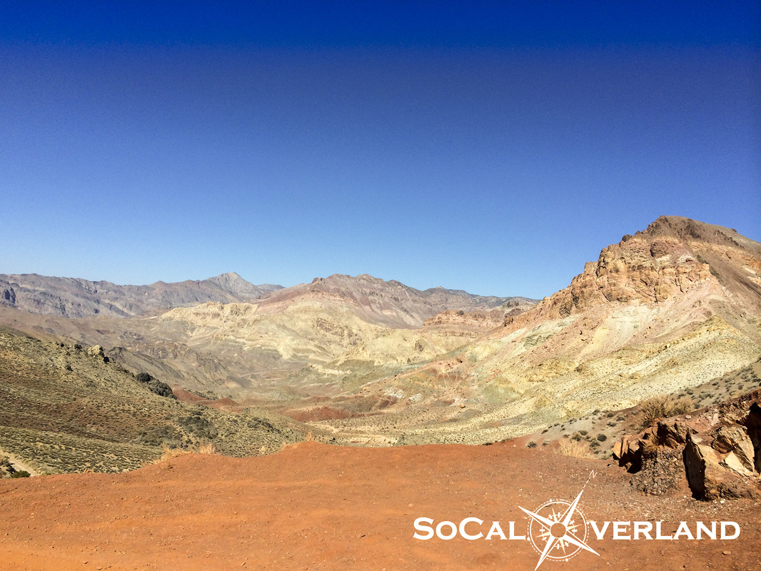
Exploring deeper into Titus Canyon, the walls narrow in upon each other displaying more amazing color variations.
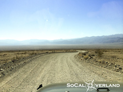
Titus Canyon eventually opens up, where millions of years ago water rushed out into the valley below.
Today, the graded road winds its way down to Scotty's Castle Road.
Today, the graded road winds its way down to Scotty's Castle Road.
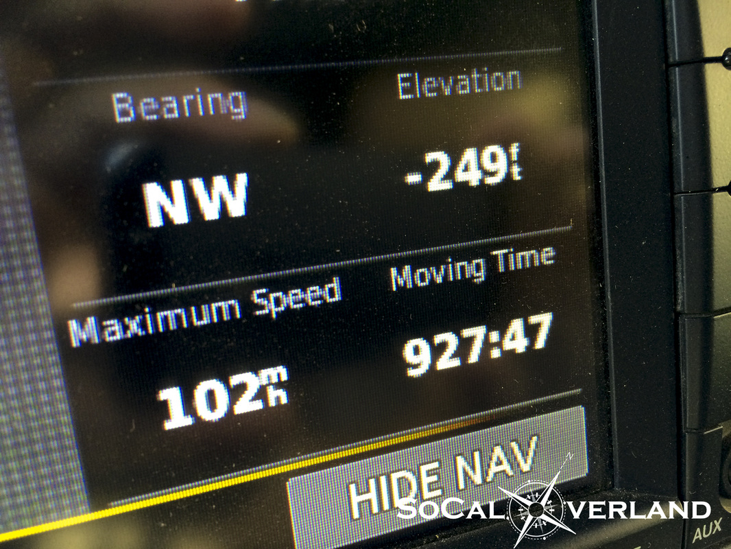
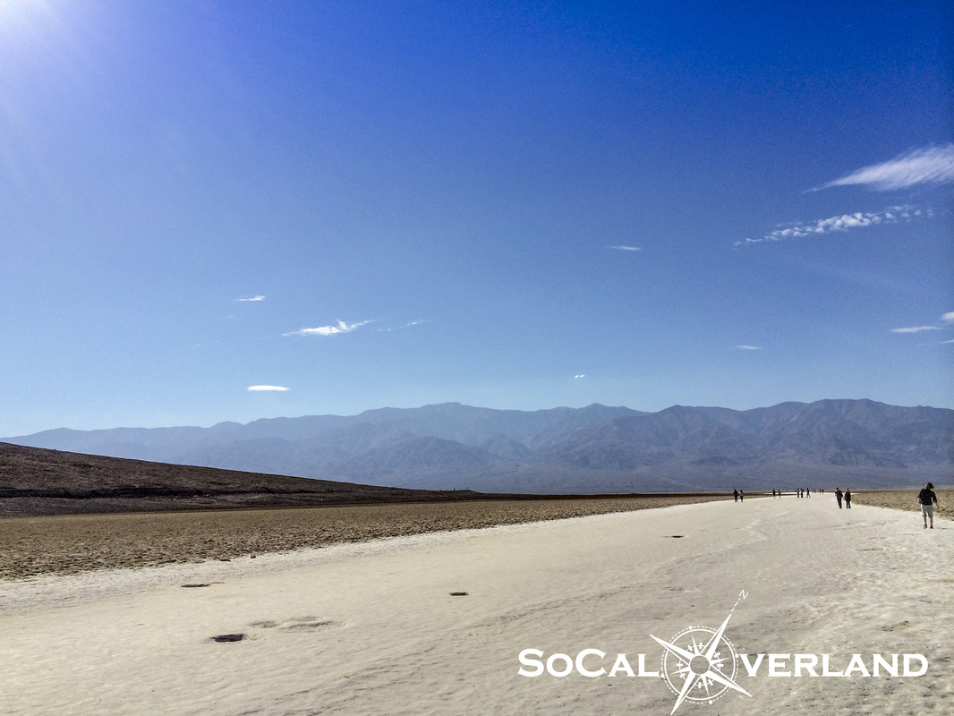
In an effort to add a few more items to the "been there, done that" list, we took a long trek across the valley floor to Badwater where the elevation dips to -282 feet below sea level. And as the mountains here continue to rise, the Badwater Basin continues to slip further below sea level.
Badwater Basin is the lowest point on land in all of the western hemisphere.
In the parking area at Badwater, my Jeep Garmin GPS gave me a fairly accurate reading of -249 feet. Though more surprising was my recorded Maximum Speed of 102MPH. I did not know Wranglers could go that fast; perhaps this was achieved in manufacturer testing before I took delivery of my Wrangler (???).
Hot and dry at Badwater. The ground here has been flattened by the thousands of visitors walking out onto the dry sea bed.
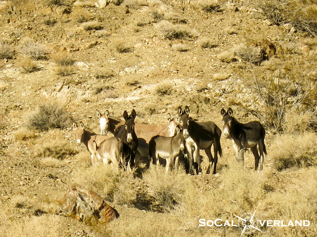
After a long day of exploring, we turned our rigs back toward Stovepipe Wells and into Wildrose Canyon. As we arrived back at camp, we discovered 22 burros hanging out on the hillside above our camp.
While we suspected these burros to be government drones set out to spy on us, we later determined that they were real and only interested in getting to the other side of the road for a drink of water.
Hey, what do you call a baby burro? A "burrito".
While we suspected these burros to be government drones set out to spy on us, we later determined that they were real and only interested in getting to the other side of the road for a drink of water.
Hey, what do you call a baby burro? A "burrito".
We are working on posting Day 3 pictures of Ubehebe Crater, The Racetrack, Lippencott Trail, Saline Valley, Darwin Falls, and Panamint Valley.


 RSS Feed